
 Update (Wed., Feb. 21, 2:00 pm): There was a rapid rise between 10:30 AM and Noon, reaching 225.84 ft. At 12:45 pm, the water level was down to 223.98 ft; and the level was 222.64 ft. at 1:25 pm A forecast made about 11 AM predicts a crest at 7 PM today at 222.10′.
 . . NOTE: See a slideshow with over three dozen photos taken under blues skies Wednesday afternoon, at our posting “Stockade stroll after the flood“.
Update (Wed. AM, Feb.21): The Mohawk River at Freeman’s Bridge was at 222.1 ft. at 9:10 AM. As of 7:15 AM, the Weather Service predicts a crest at 222.5 ft. at 1 PM today. [click for Hydro Chart] It is quite foggy along the River. Riverside Park is completely under water. No water yet on Washington Ave. The River half of Cucumber Alley is flooded. I will get to other streets a little later this morning. Pictures will be added here at “suns along the Mohawk” throughout the day.


 . . Gateway Landing Gazebo, noon, Feb. 21.
  . . click here, or on this chart to see the latest Mohawk River level reading and hydrologic prediction at Schenectady (Freeman’s Bridge). Flood Stage is 220 ft. . .
Record warmth on Feb. 20 & 21, with rain, is expected to melt Adirondack snow and significantly raise water levels. The 14-miles of ice cover in Schenectady County’s portion of the Mohawk is an unpredictable factor, and break-up of the floes may cause ice jams with water backing up and over the River banks.
 . . Observation/Prediction Updates: At 9:15 pm, Tuesday, Feb. 20, the Mohawk River level was 220.15′. Minor Flood Stage is 220′ at Freeman’s Bridge. The forecast posted today at 7:29 pm shows the River level cresting at 220.70′ about 1 am tonight, Wednesday, Feb. 21; falling below flood stage 1 AM Thursday; and then falling to 217.50′ at 7 PM Friday, Feb. 23. [The River went up about 18 inches from 3 PM to 6 PM at the Riverside Park esplanade.] Click for a Table showing observations and River level forecasts.
- Click for WTEN meteorologist Steve Caporizzo’s Twitter page, to get his latest forecasts and insights on flooding in the Region.
- And, check out the Live Webcam at the Union College Boathouse, for real-time views of the Mohawk near the CSX Trestle and the Stockade
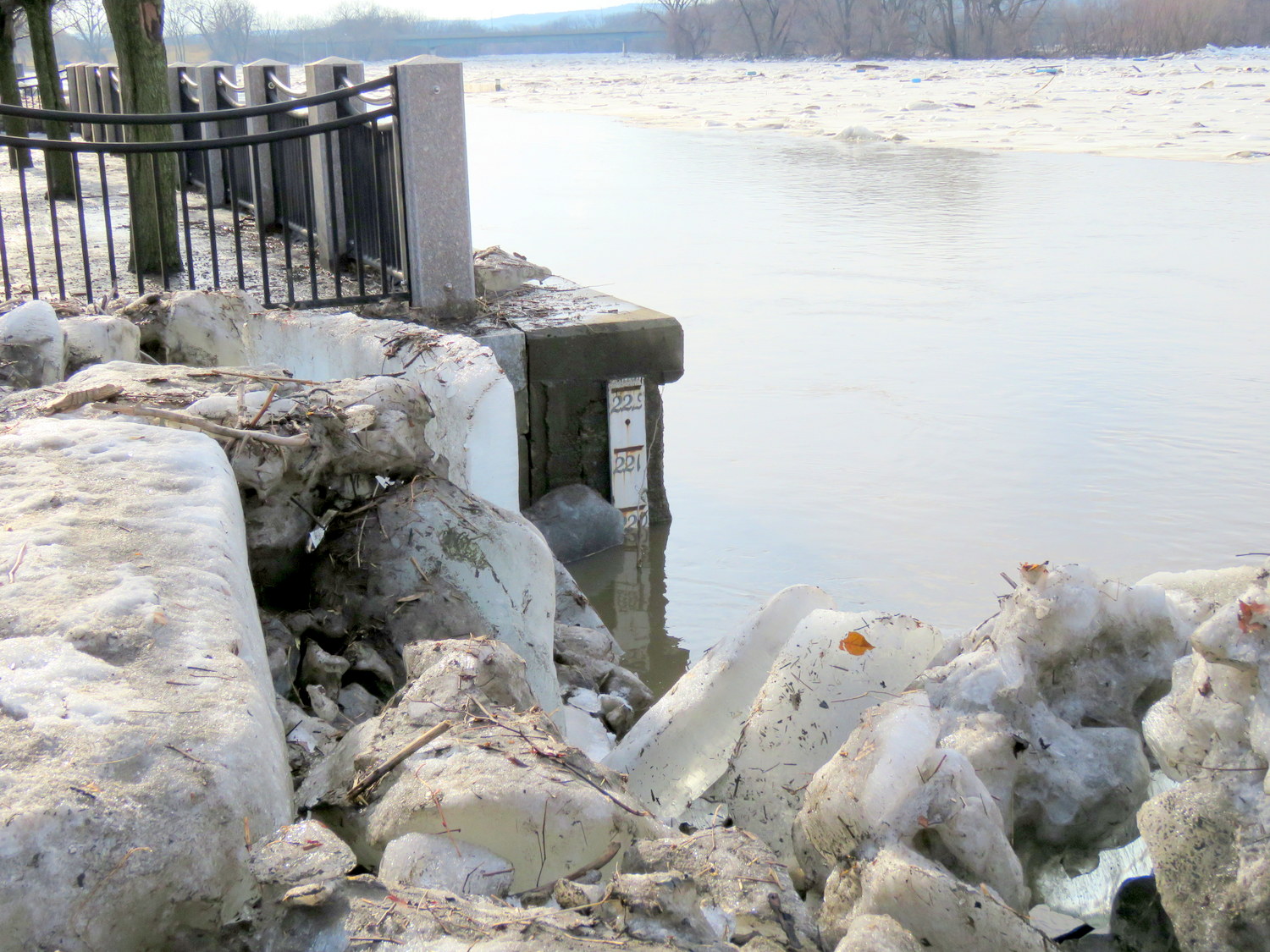 Earlier update (4:15 PM, Tuesday, Feb. 20): The water has been rising more quickly than predicted along the Mohawk at Schenectady, and was already at 217.54′ at 3:30 PM today, past the predicted crest for tomorrow. I will keep checking for new River Level Forecasts. Photo to the Right shows Esplanade water gauge at about 3 PM Tuesday (visible for first time since Jan. 13, because the ice floe pile up has melted down). The water level level reads 220′. Although 220′ is Flood Stage at Freeman’s Bridge, flood stage at the Esplanade (end of No. Ferry) has traditionally been stated as 222 ft. (above sea level, of course).
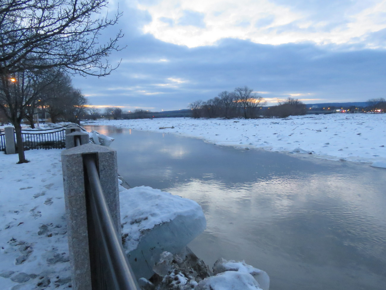
 [L] view east from Esplanade, 3 PM, Tuesday Feb. 20.
This webposting will be updated frequently to show conditions and predictions.
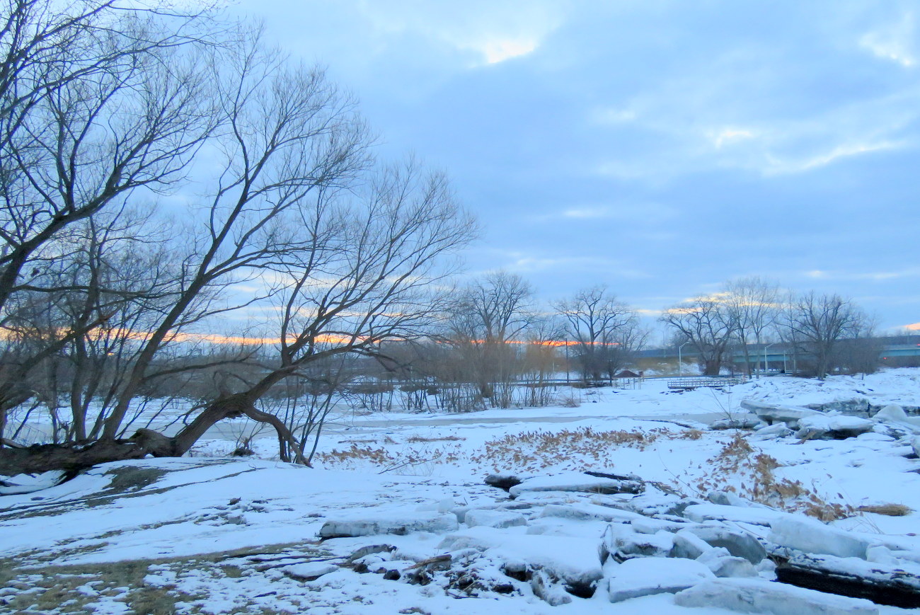
Here are photos from Sunday evening, February 18, which are still representative of conditions on Tuesday morning, Feb. 20, 2018. Click on a photo for a larger version.
 ..
.. 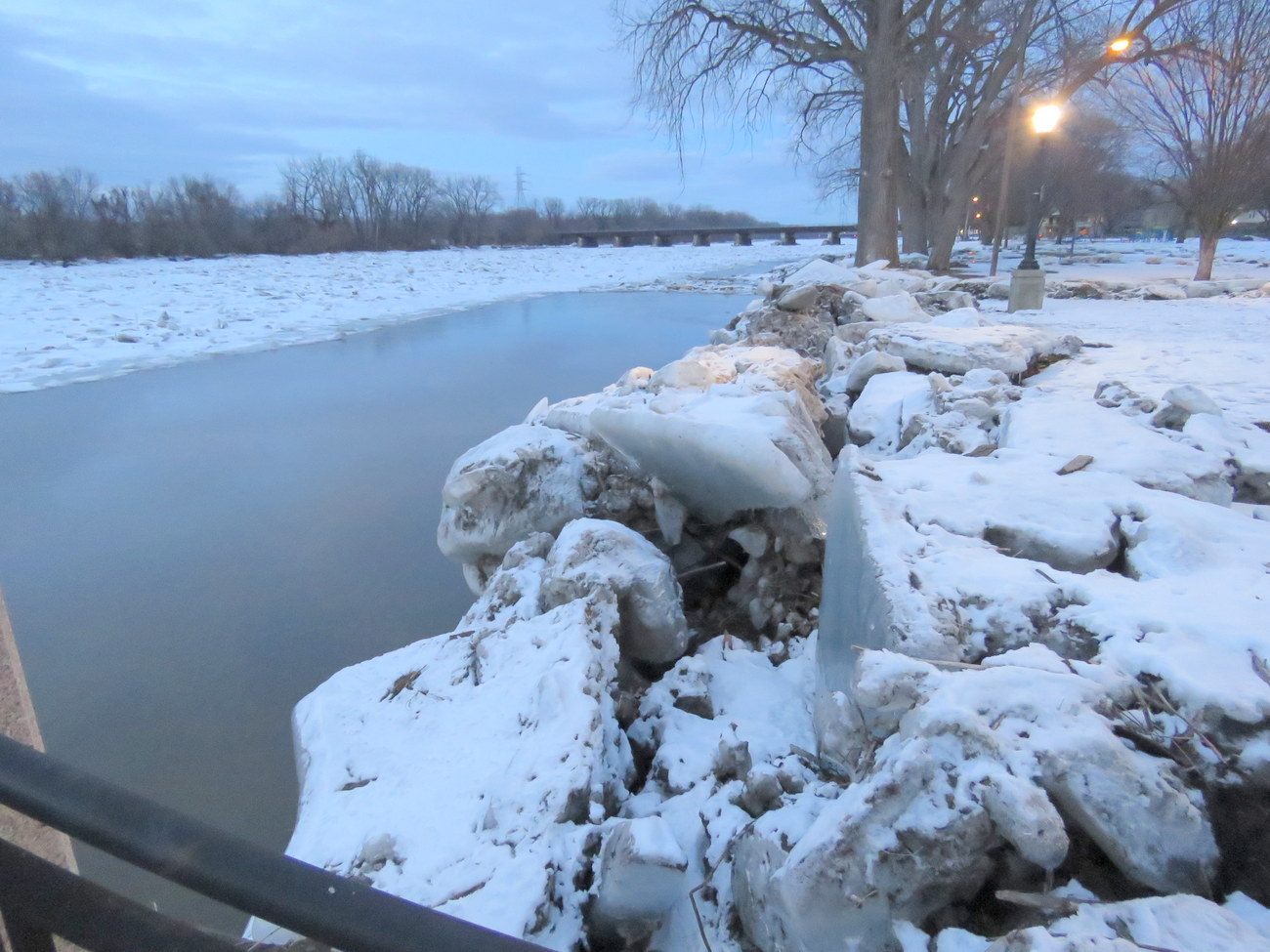
above: view [L] west and [R] east from the Riverside Park esplanade . .
below: view [L] west end of Riverside Park; and [R] end of Cucumber Alley, where the Binnekill enters the Mohawk River
 . .
. . 
- To see the ice floes at the Park on January 19-20, click here.
- Click here, to see the original flash-frozen flooding and ice floes on January 13-14.

Leave a comment