 . . updates (June 28, 2020 and July 22, 2020) . . scroll to the bottom of this post to see the Black Lives Matter additions to the Rainbow Pride Art Project . .

I‘ve been curious to see how the Schenectady Pride Art Project at Gateway-Liberty Plaza would turn out, ever since I first learned about it last November. (spoiler alert: I like it a lot more than I had anticipated). At the time, frankly, I was concerned that “rushing it through with no chance for meaningful public input on its basic design, size, materials, or location within the Plaza, undermines the public consensus for celebrating the important civil rights victories.” And, I opined that “Schenectady PRIDE and the 50th Anniversary of the Stonewall Uprising deserve a much better design.”
 . .
. .  . .
. .
. . above: Work in Progress: May 29, 2019 [R]; May 31, 2019 [L] . .
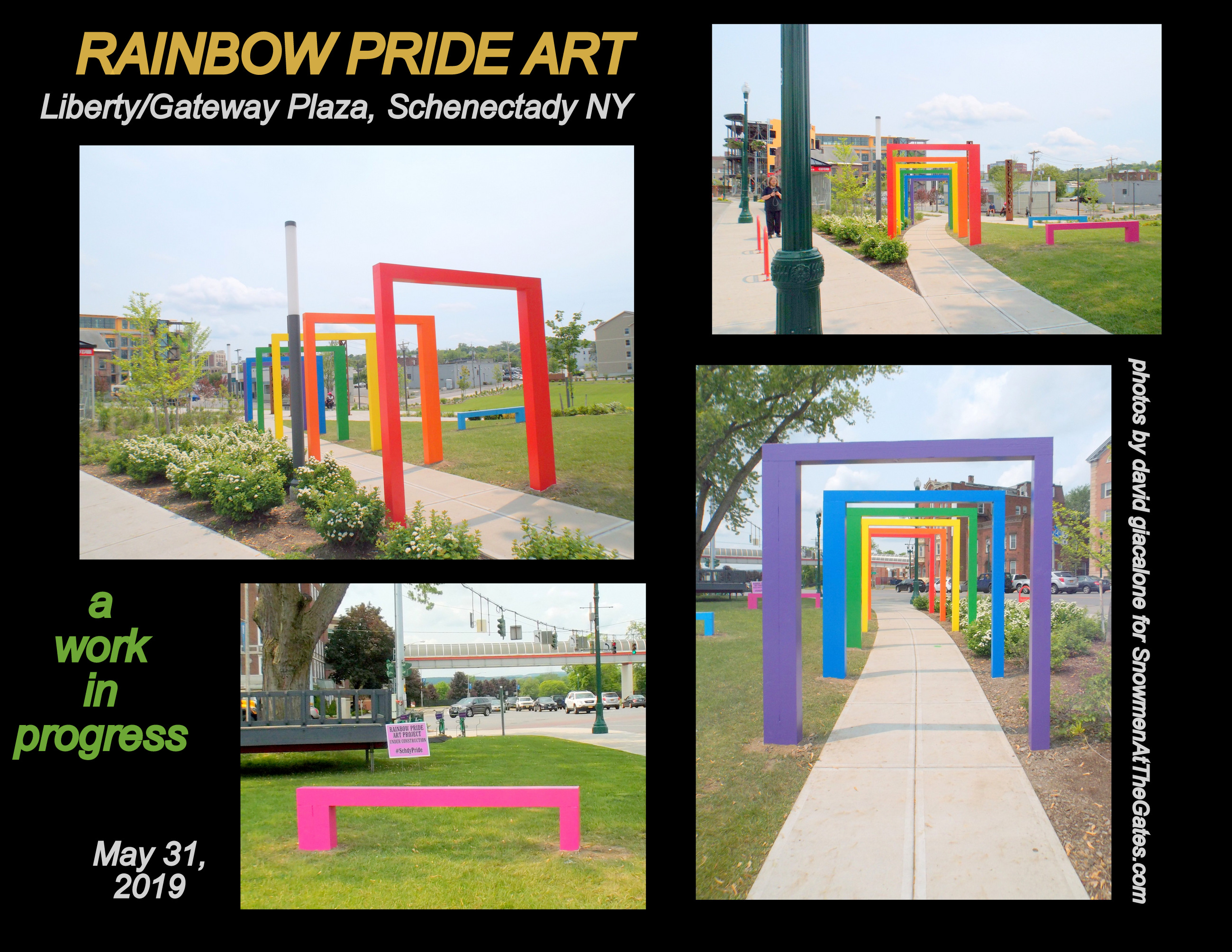
almost ready
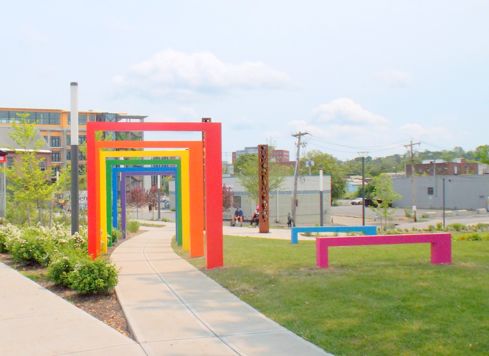
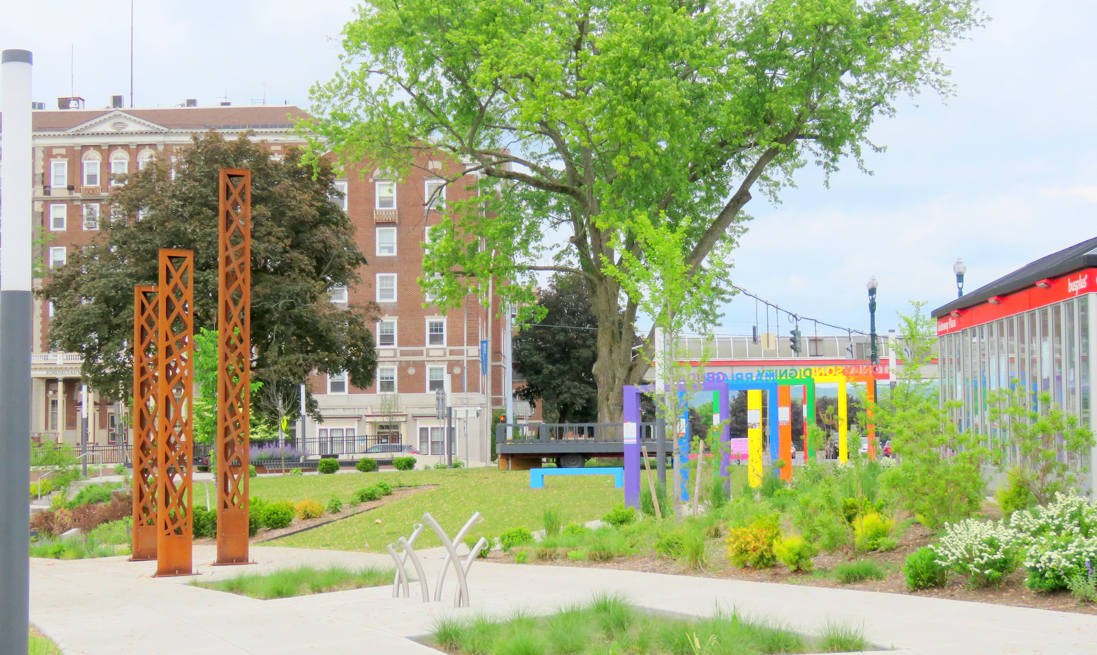
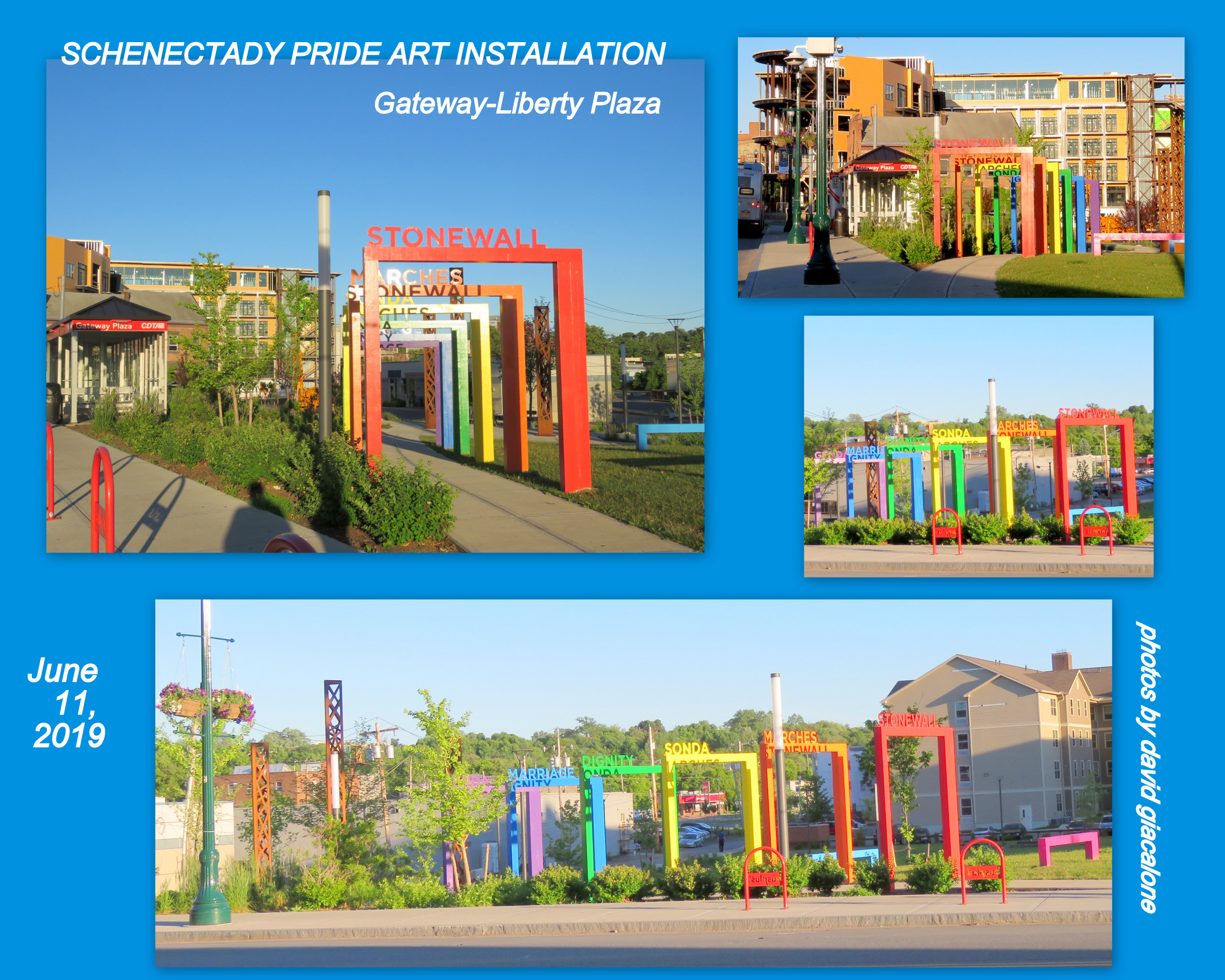
So, I’ve been watching the proposal’s “doorway/arches” being erected and painted this past week (see images immediately above; and collage to left), and saw the finished Project for the first time this morning (June 2, 2019), camera in hand. [And, as you will see below, I brought my “friend” Silhouette Lady Liberty to see the display of equality and Enlightenment at the place long known as Liberty Park, and the home of a replica Statue of Liberty since 1950.]
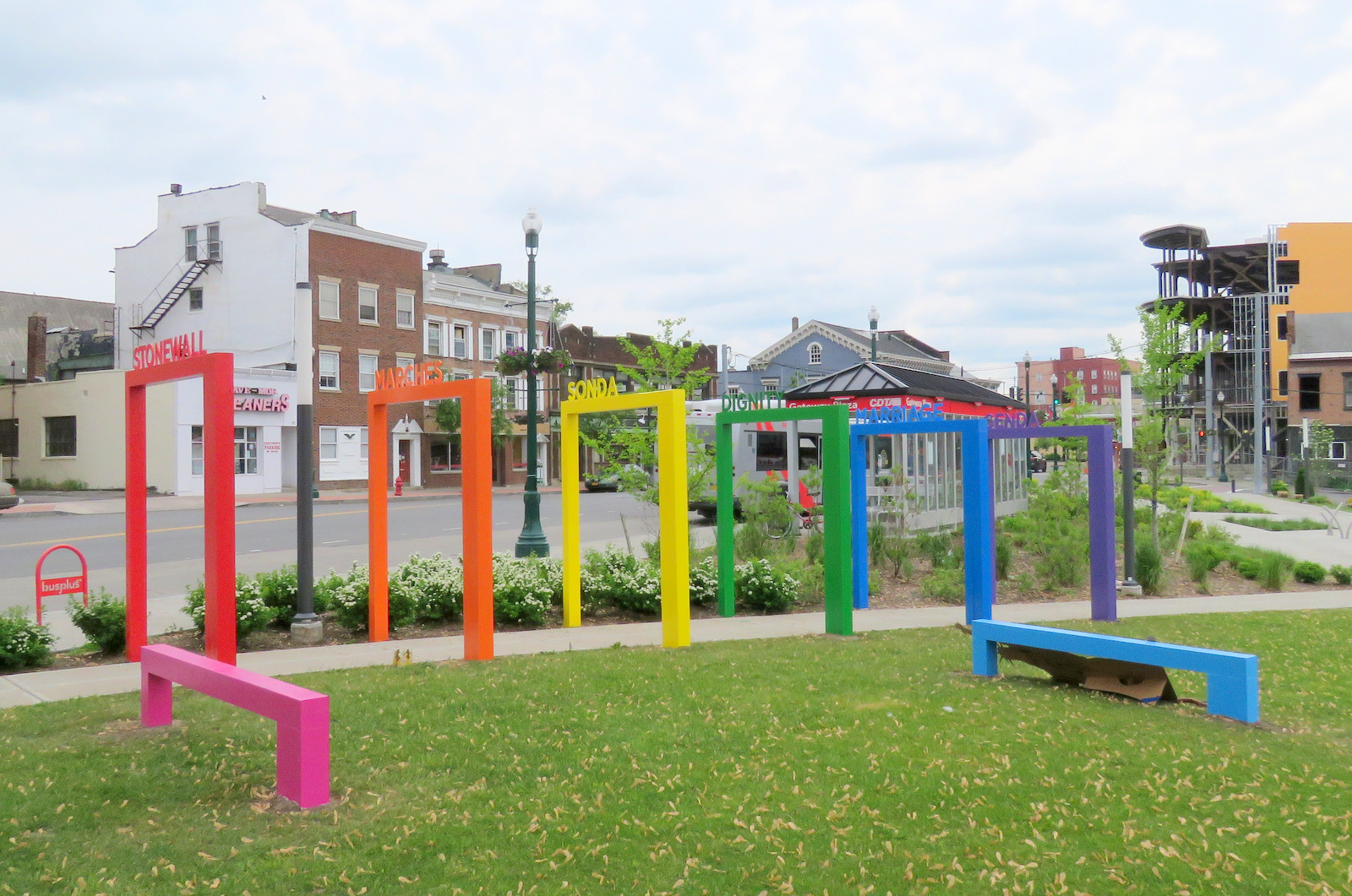
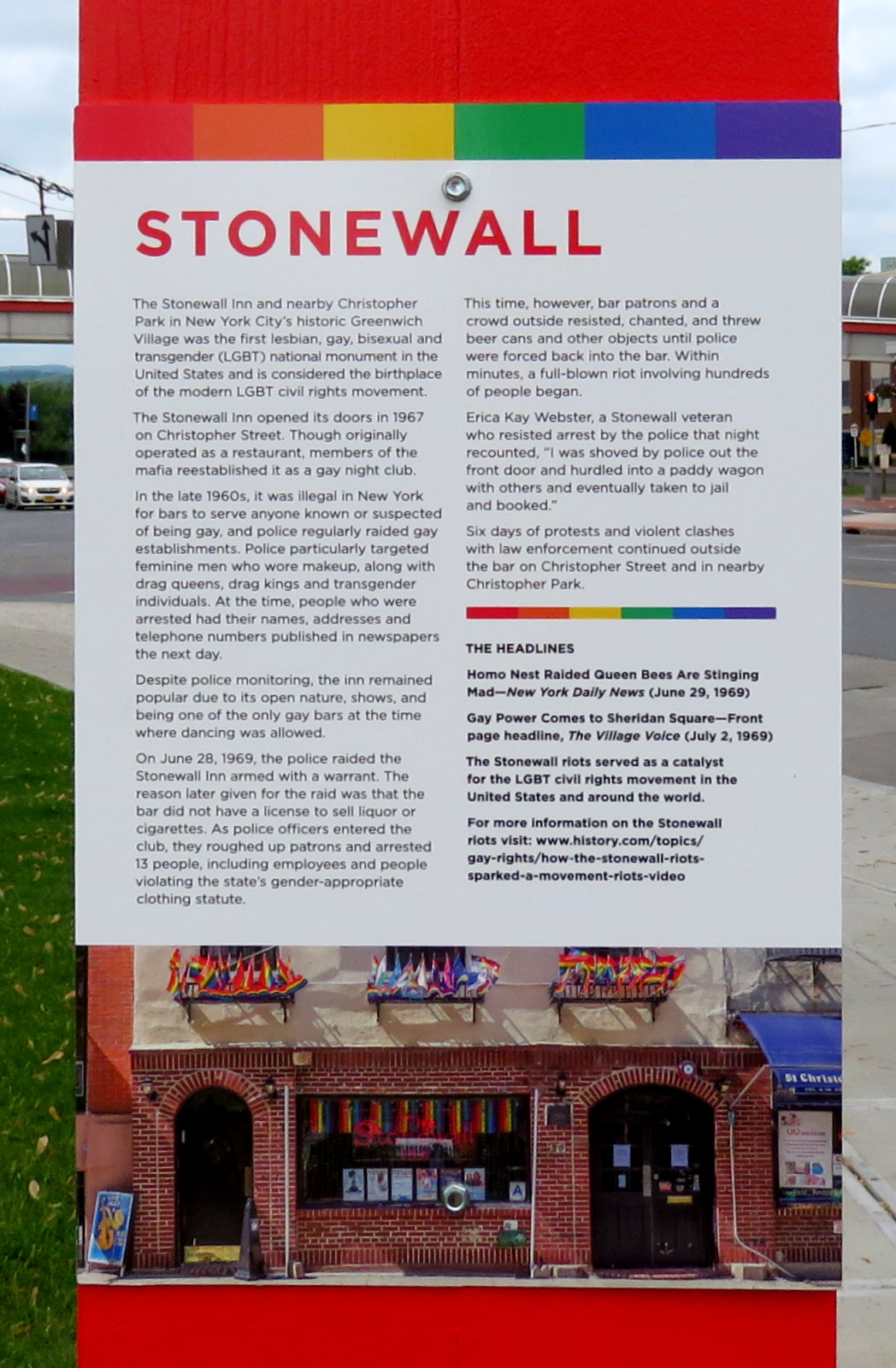
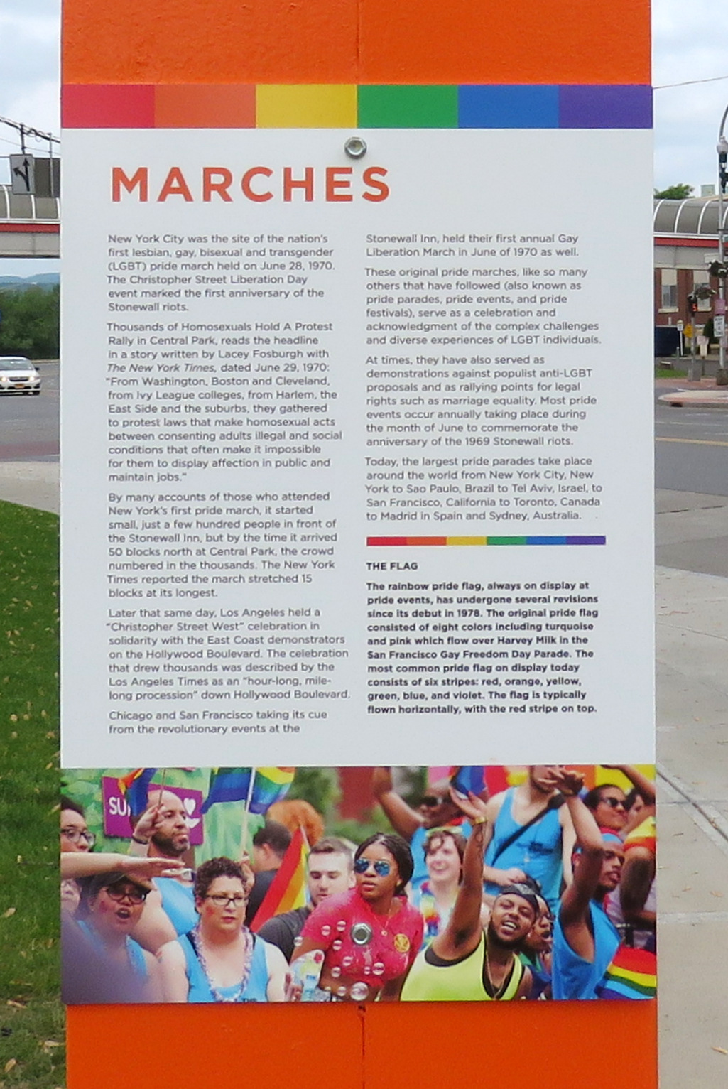
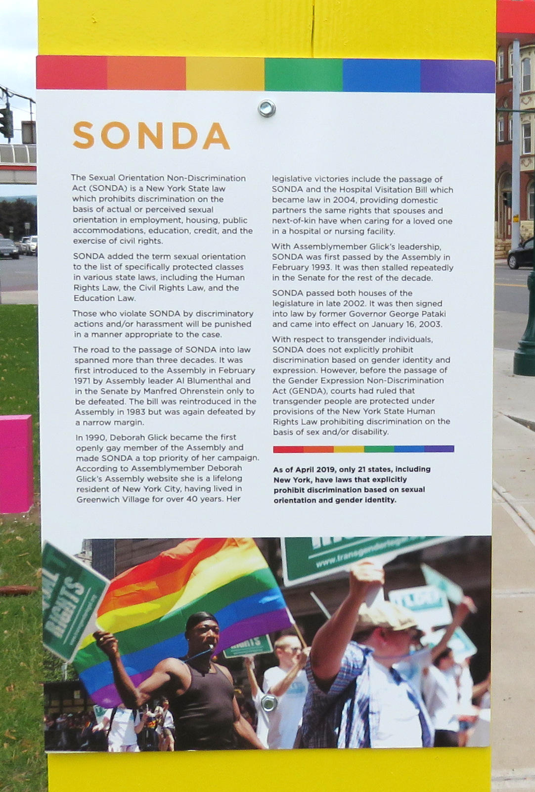
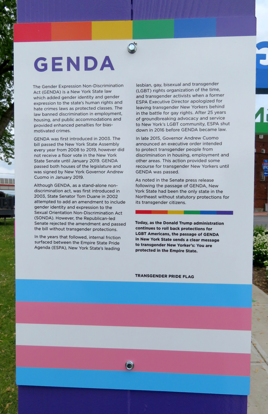
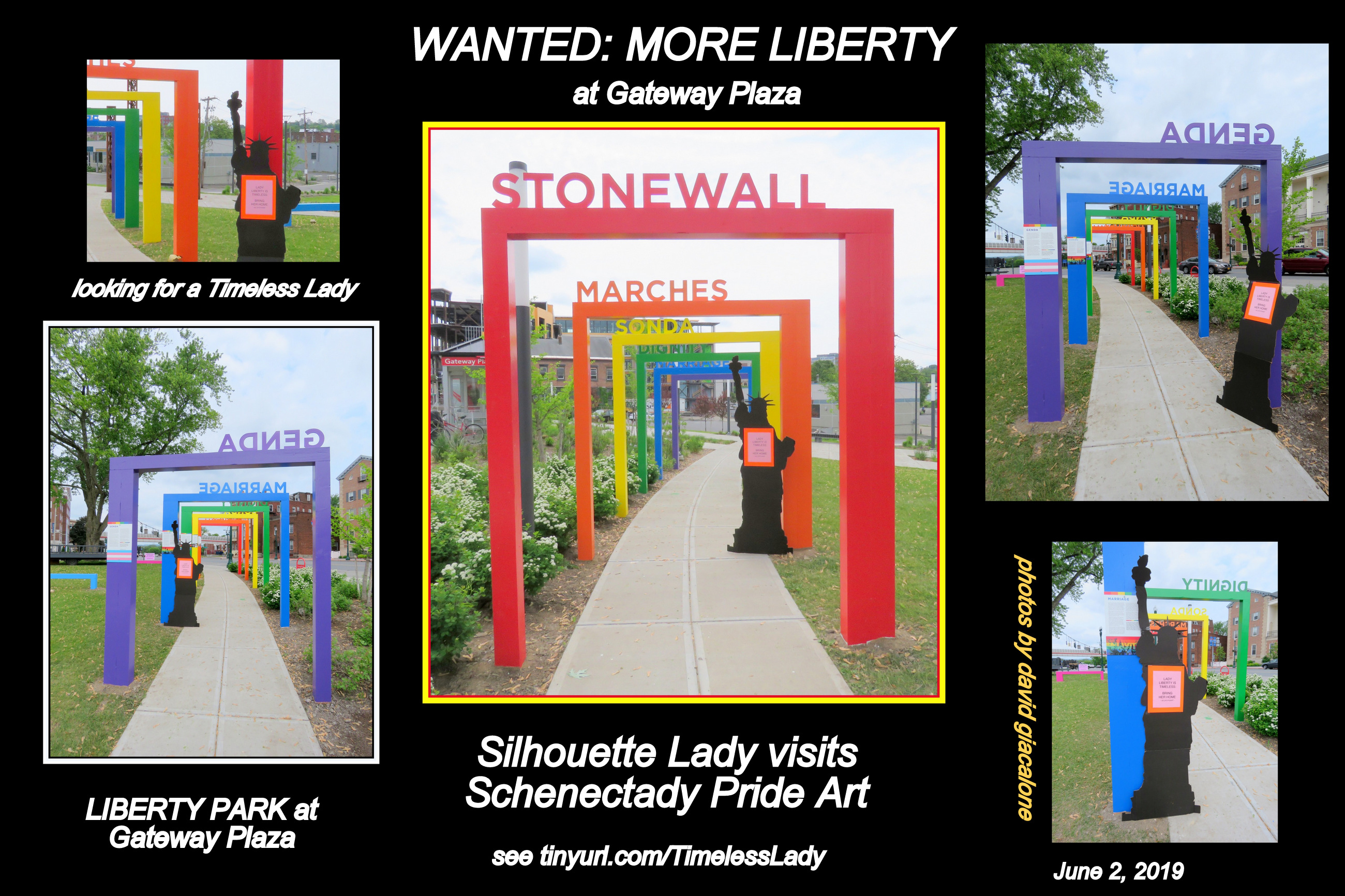
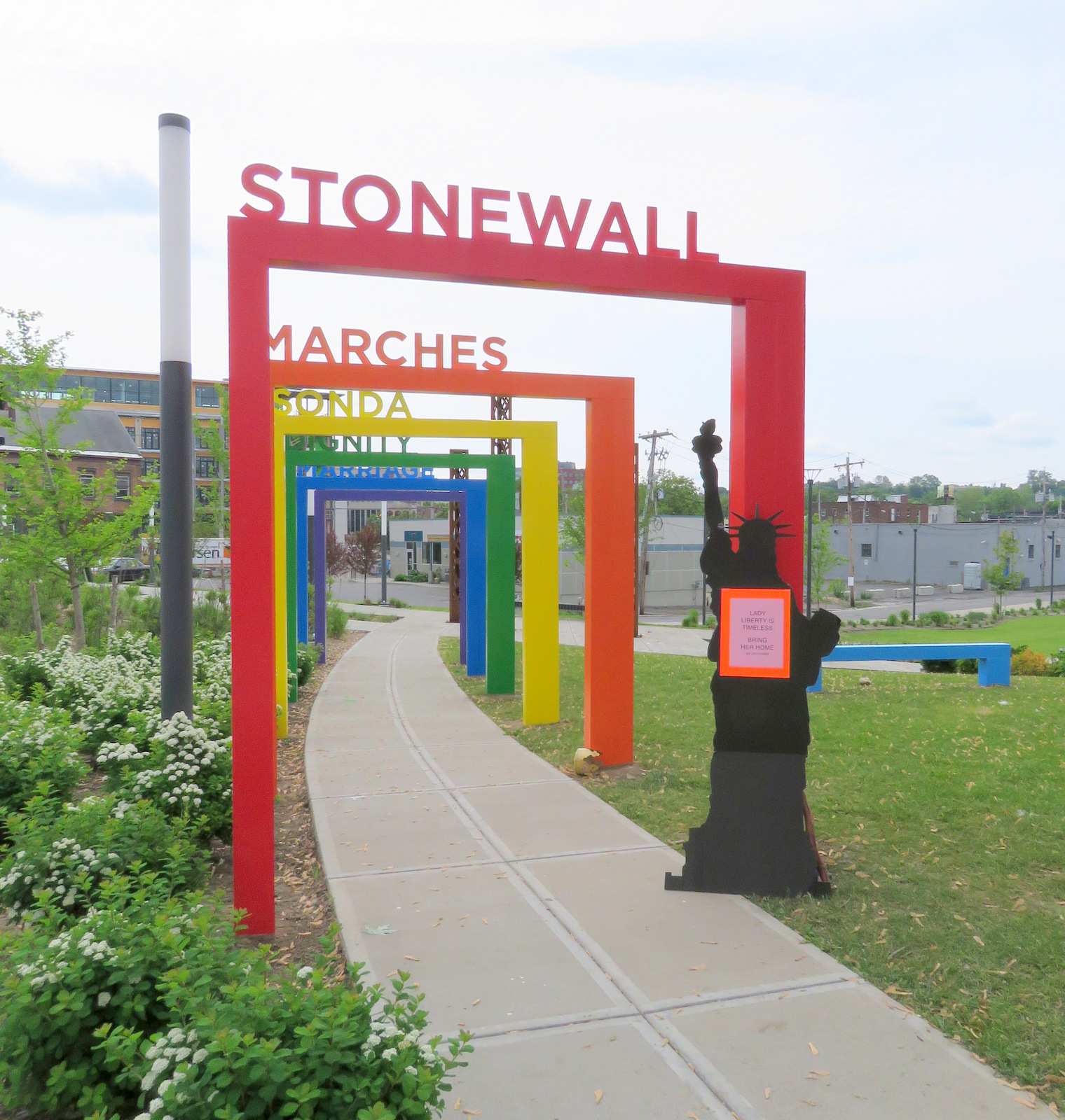
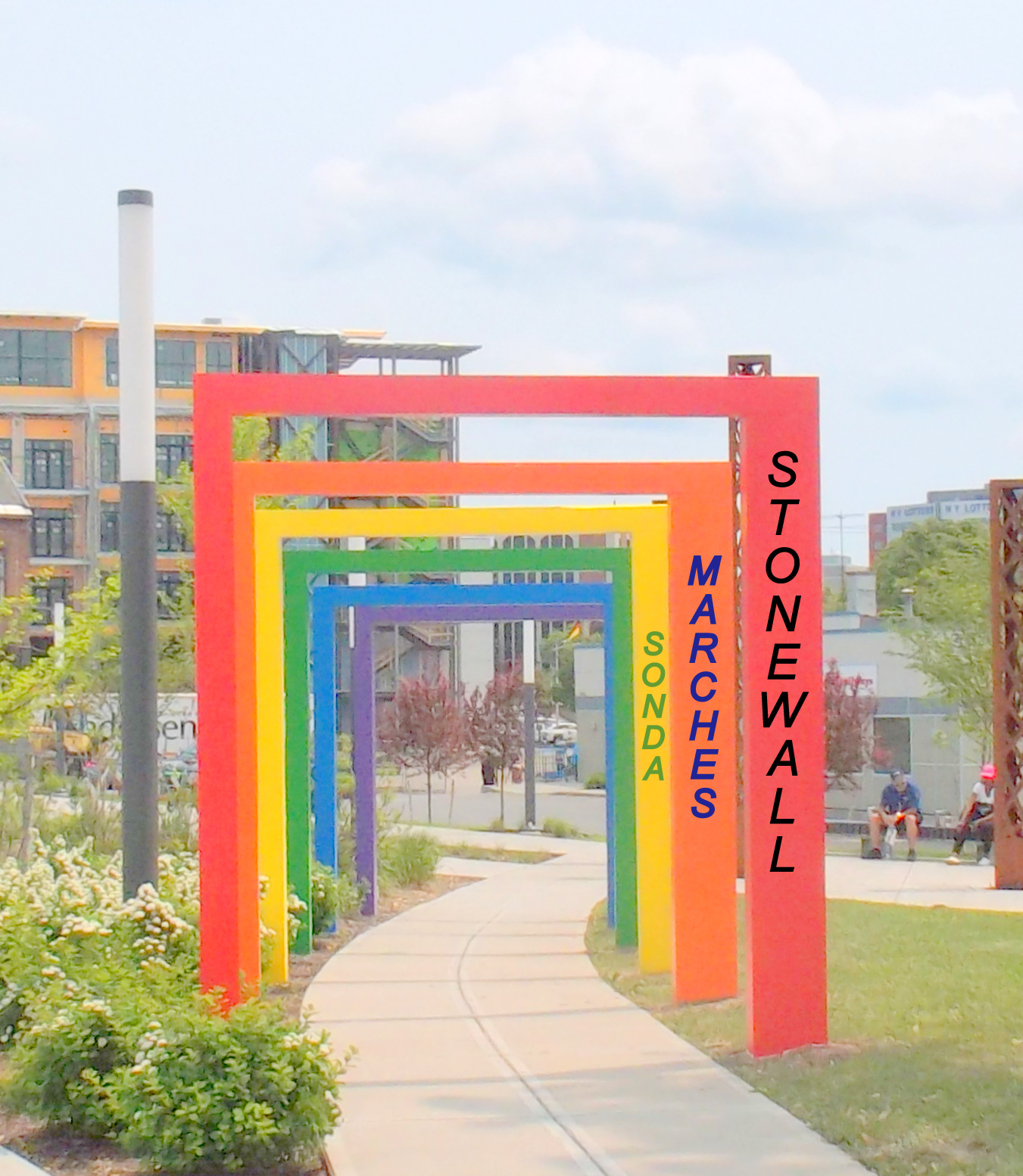
 Below are a handful of additional photos of the Rainbow Pride Art Project taken several hours before the exhibit would be “revealed” and dedication this afternoon (June 2, 2019). Each arch has a Milestone title in wooden letters on its crossbeam, as well as a placard that describes the Milestone and its history. Two of the Milestones are stated as acronyms for legislation protecting LGBT rights. Scroll down this post to find thumbnail images of each placard; click on the image for a larger, readable version. After the placards, I’ve included several images of Silhouette Lady, who feels very much at home at the Pride installation, and hopes Schenectady Pride will reciprocate and help Lady Liberty back to her Liberty Park home.

.
 . .
. . 
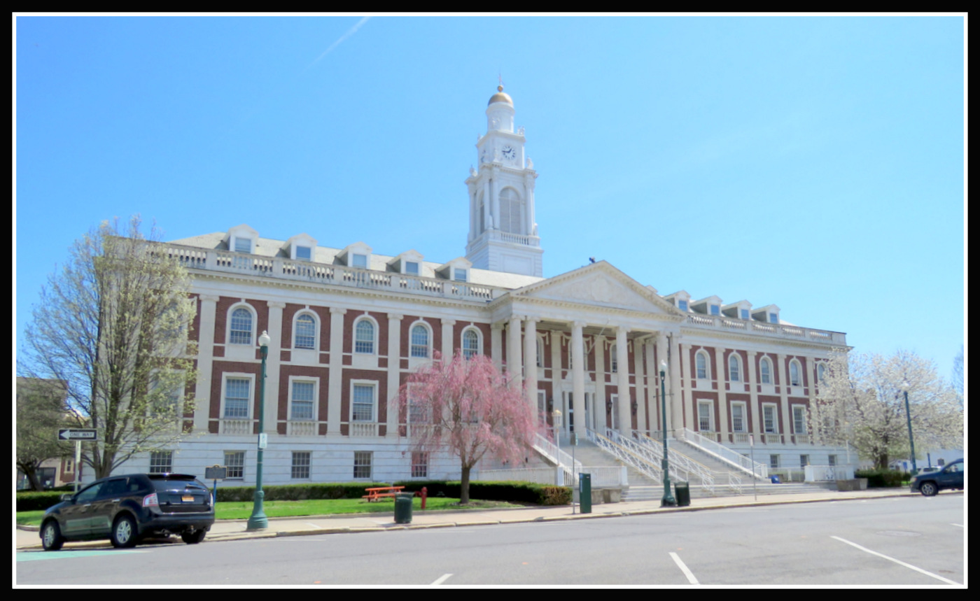
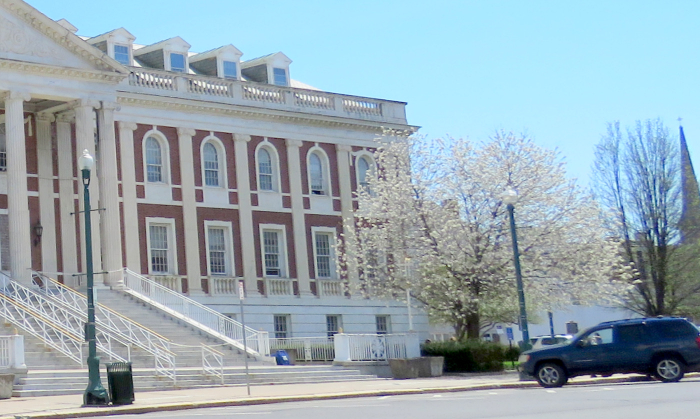
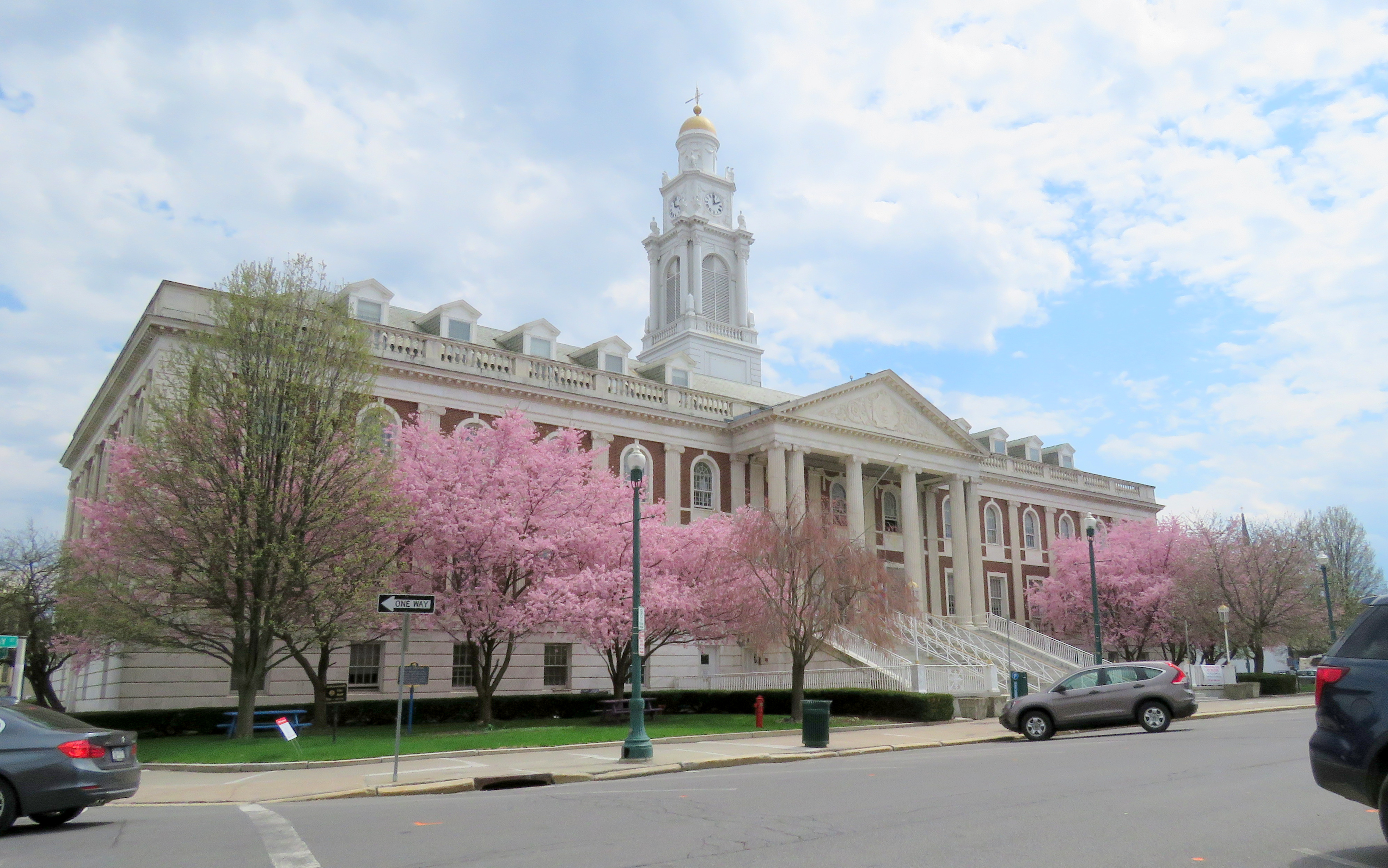
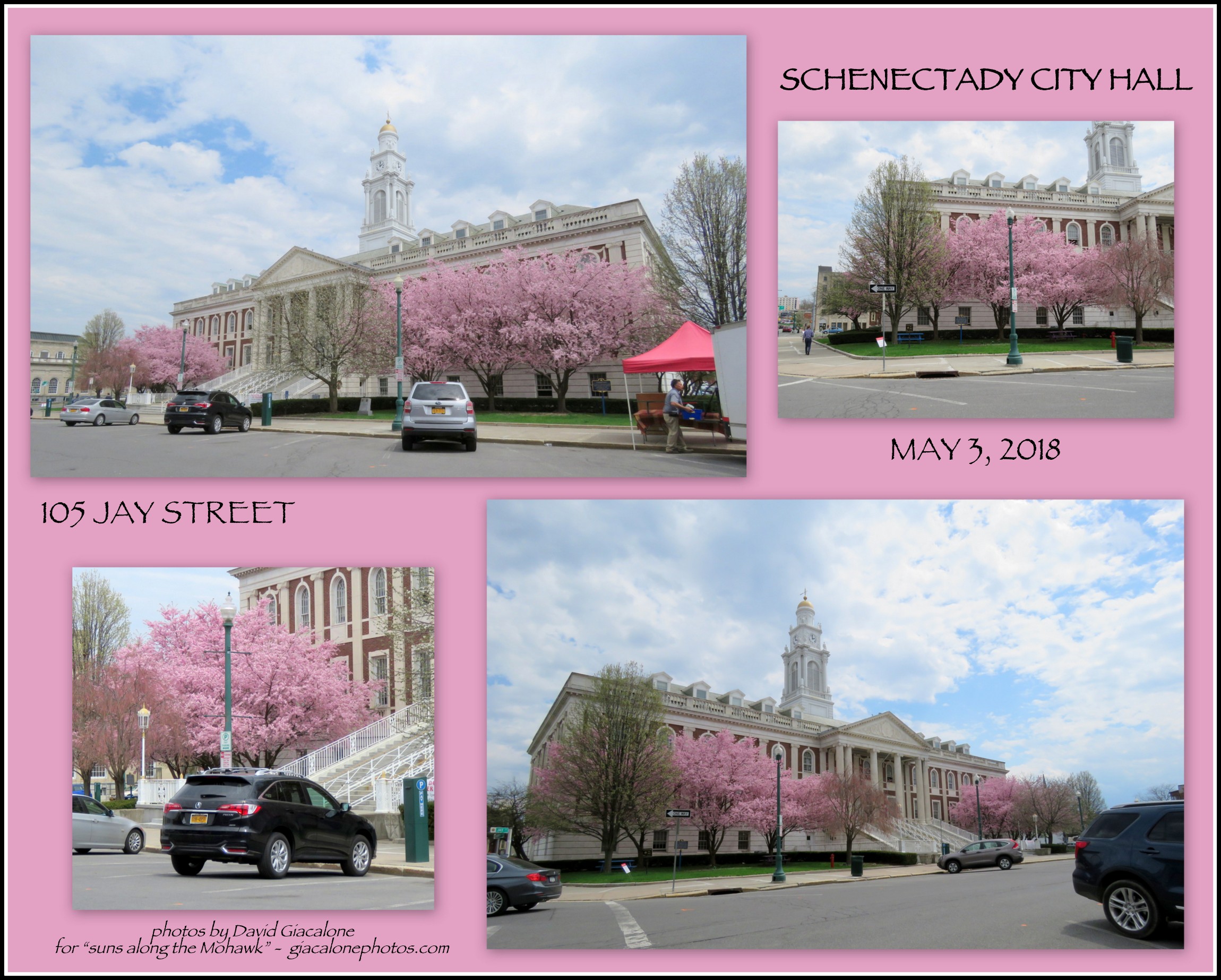
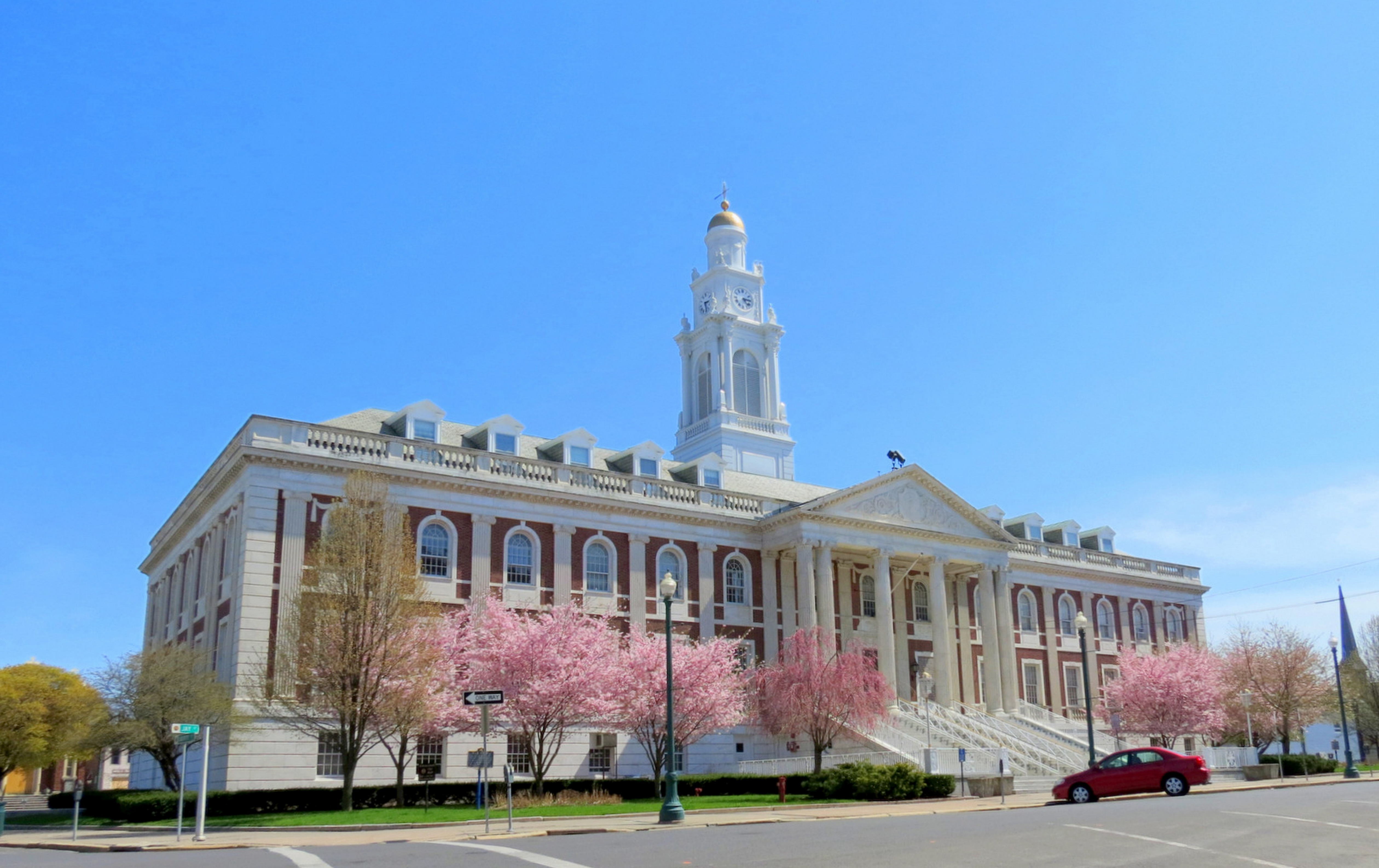
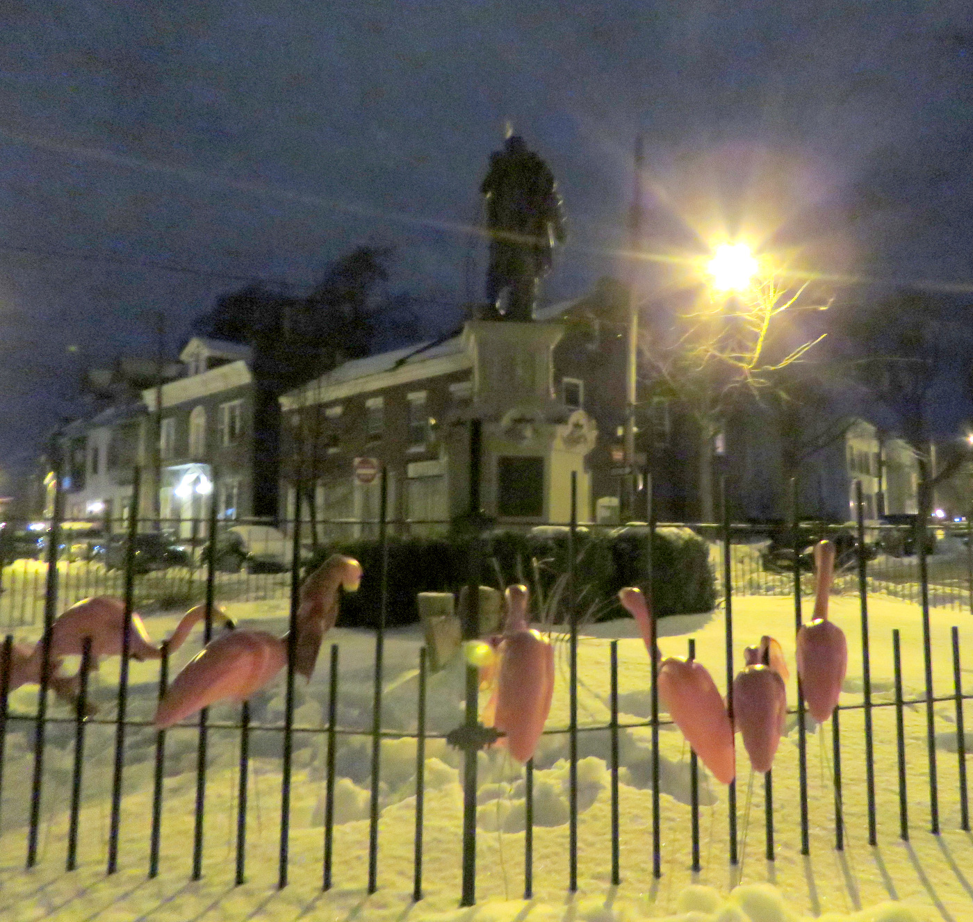
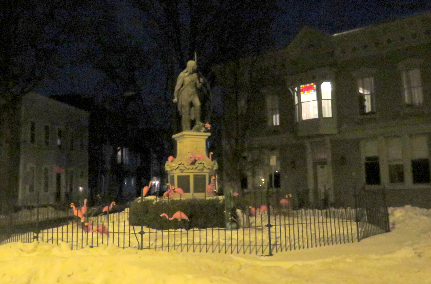
 . . buses often block the view from State St..


. . share this post with this short URL: https://tinyurl.com/SchdyPrideArt
.
INFORMATIVE PLACARDS: The PRIDE ART Display includes informative statements explaining the Six “Doorway” Topics. To read the text of each placard, click on its thumbnail below, and then click again on the jpg. file for an image large enough to read.
 . .
. .  . .
. . 
 . .
. .  . .
. . 
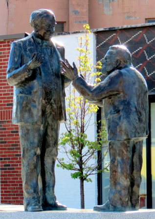
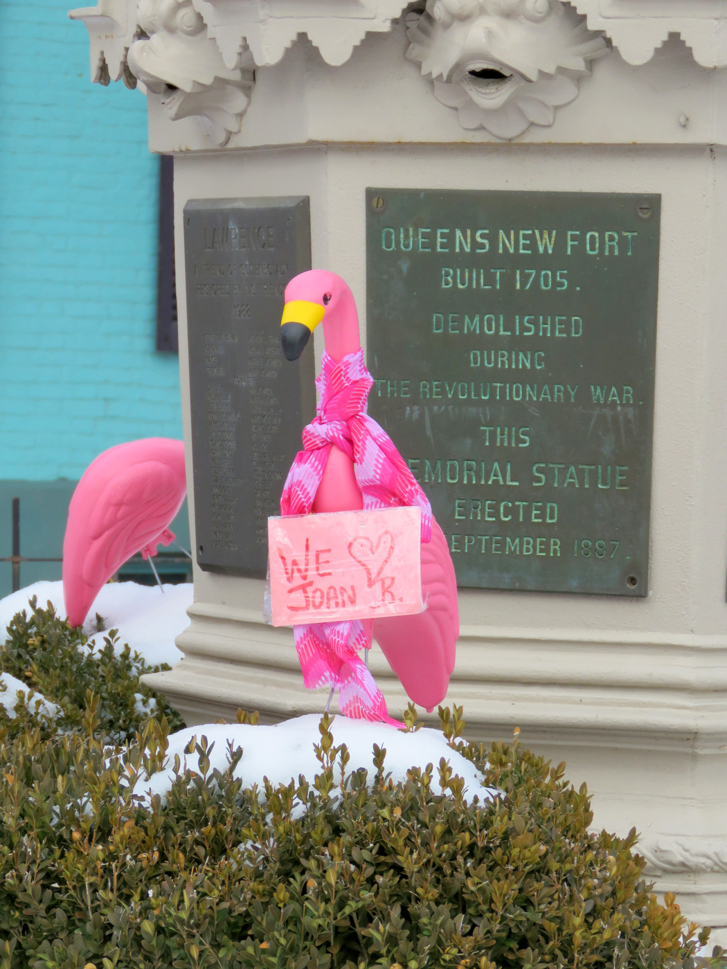
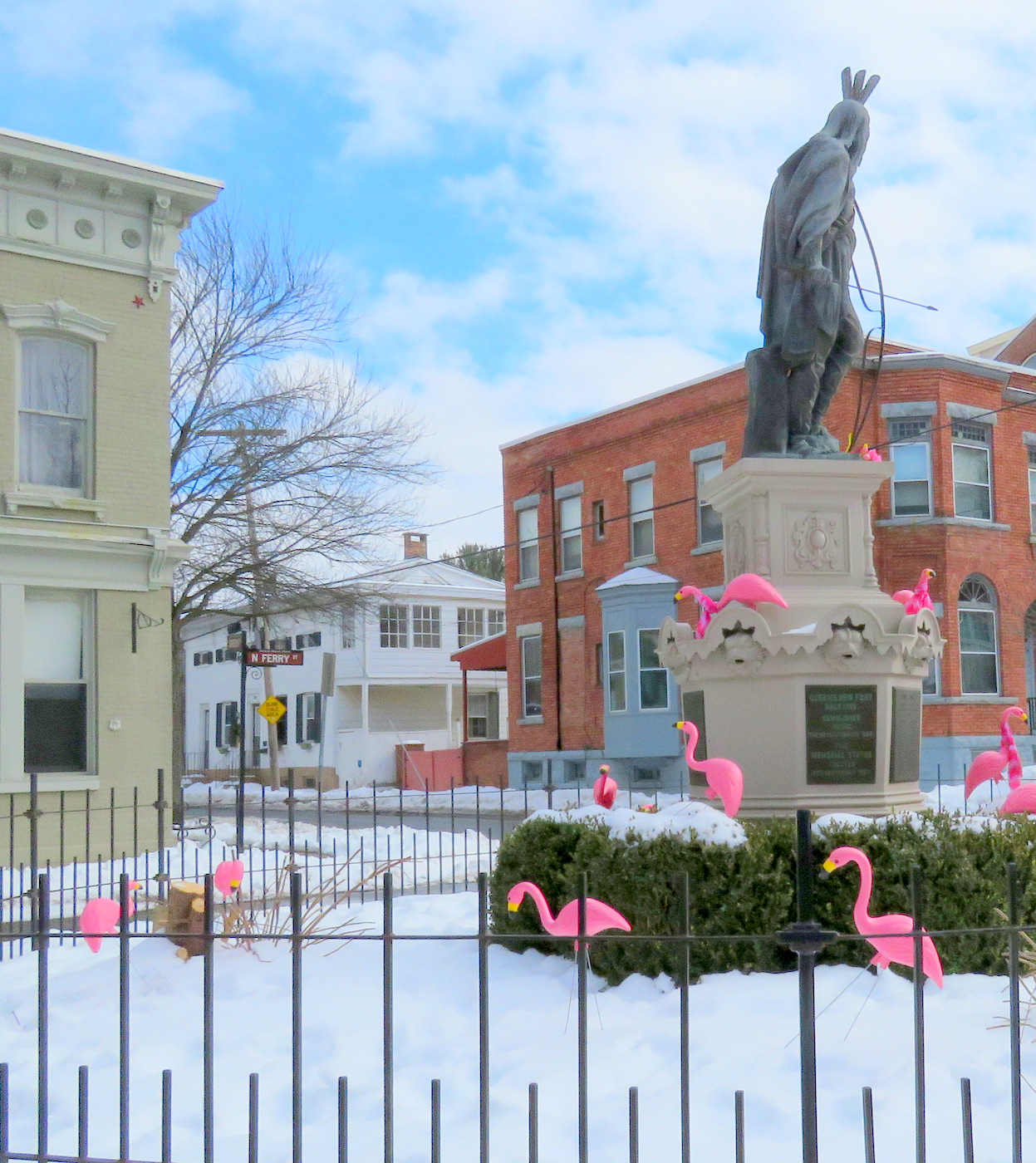
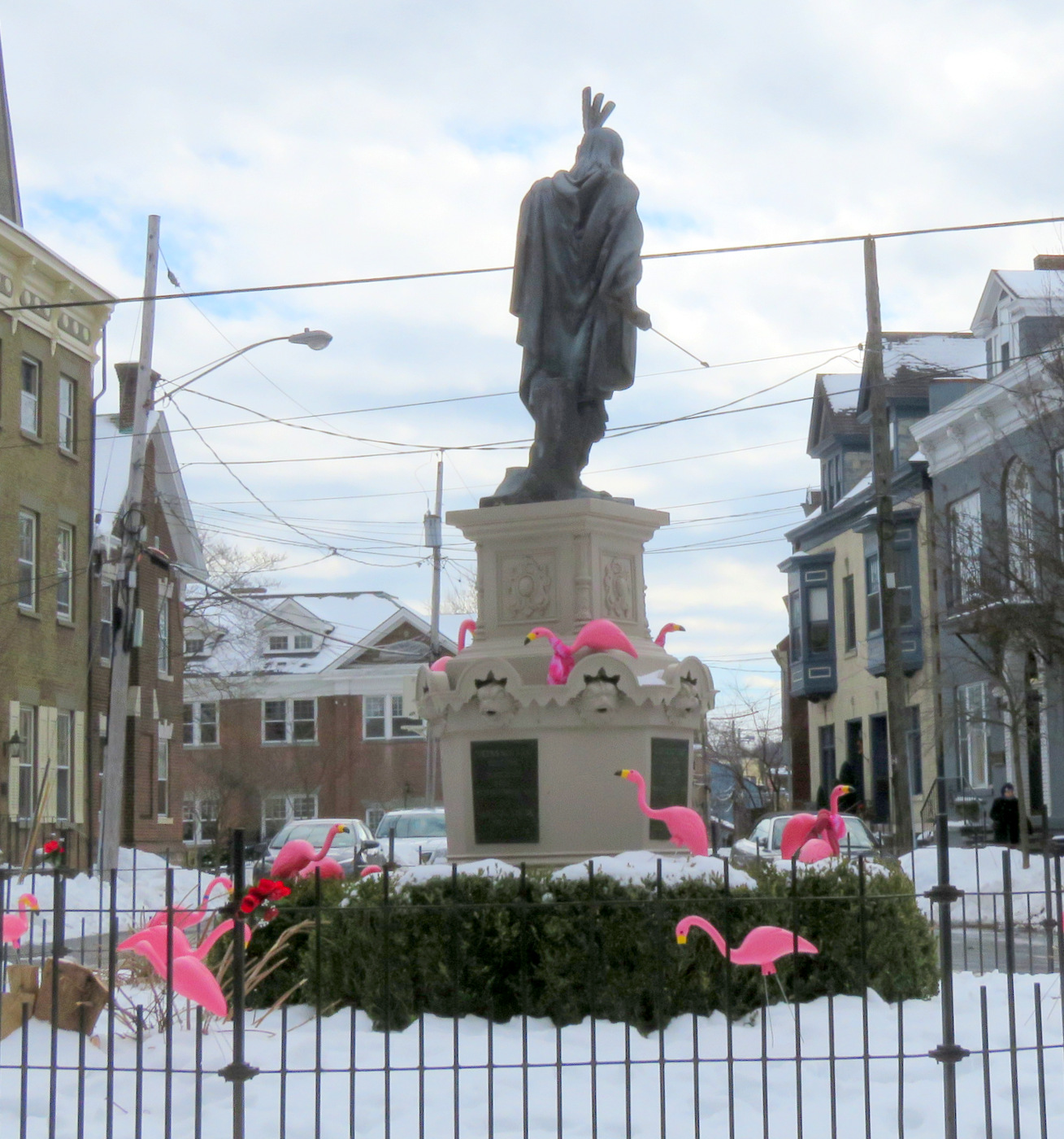
WANTED: MORE LIBERTY at the PLAZA. Some vital liberties have taken far too long to be achieved, protected, and accepted in the United State of America. When created, the original Statue of Liberty was titled “Liberty Enlightens the World” and specifically celebrated the emancipation of America’s slaves. While She holds high her light, Lady Liberty is also shown breaking shackles and stepping forward. The rights that were fought for at and since Stonewall make us all more free.
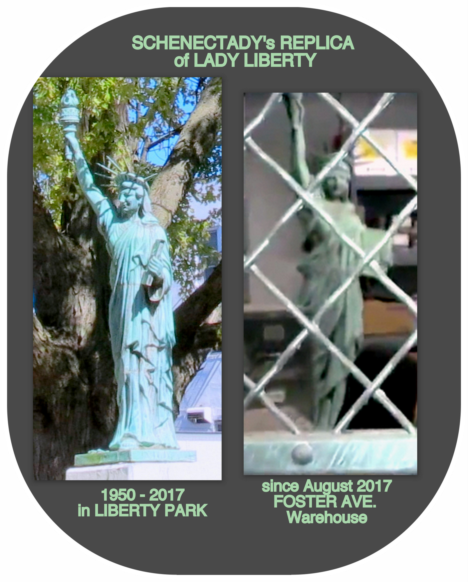 In her Implementation Plan for Gateway Plaza, designer Mary Wallinger stated that the Plaza was meant to “celebrate our past, present, and future.” There is no single symbol in Schenectady that fills that role better than our Replica Statue of Liberty. Nonetheless Lady Liberty has been “exiled” by Mayor McCarthy and Ms. Wallinger for failing to be “contemporary” enough. Silhouette Lady disagrees strongly, and made the point this morning while visiting the Schenectady Rainbow Pride Art installation. As you can see in this collage:
. . for more information about the Liberty Exile Controversy, see tinyurl.com/TimelessLady . .
p.s. First Afterthoughts. The Rainbow Pride Project turned out better than I had expected, and is a plus for our City. Congratulations to Schenectady Pride and designer Mary Wallinger, with special thanks to The Schenectady Foundation and its Thriving Neighborhood Challenge for funding the project. However, public input and more brainstorming within the Pride organization about the location of the project within the Plaza would have been beneficial. If the public had been able to make recommendations last autumn about the design and location within the Plaza, there might have been many suggestions worth consideration, with the rest of the community feeling more of a stake in the project.
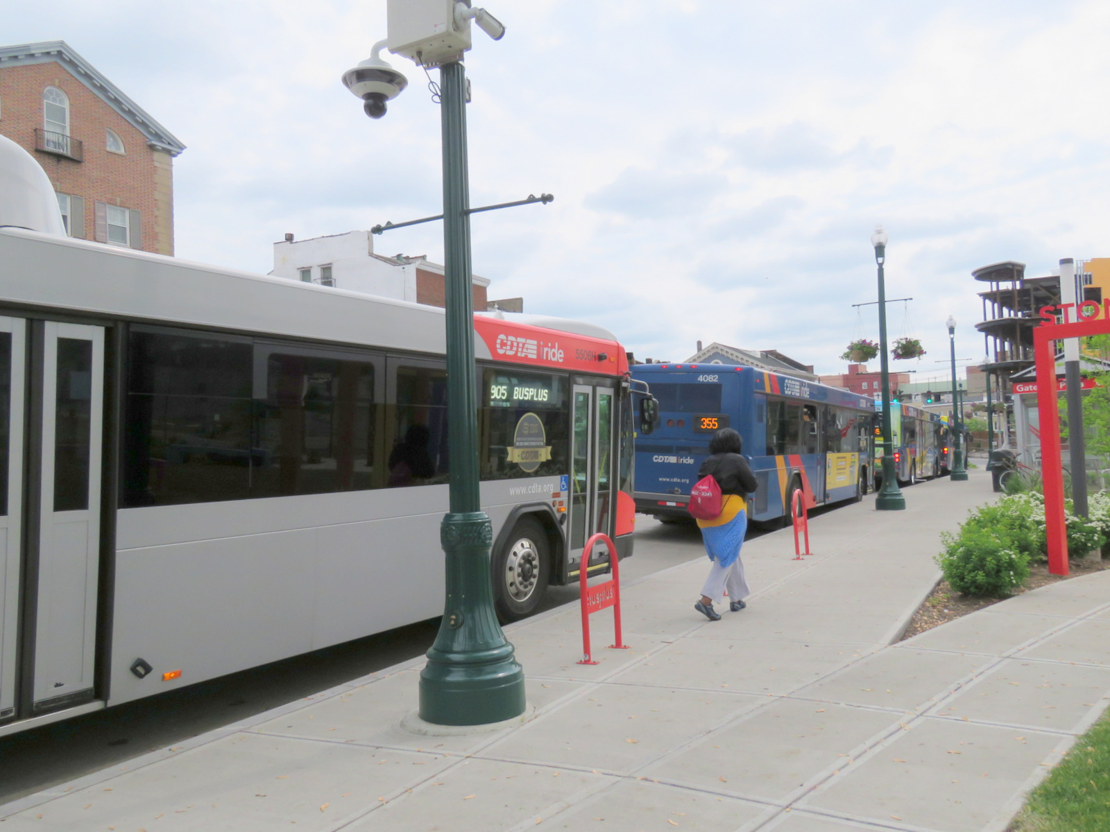
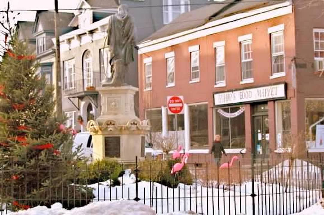
 We were told at the Council meeting last November that alternative spots within the Park for the project would be considered. An alternative spot could have avoided the traffic issues caused by passing vehicles slowing down to see and photograph the Installation at the busy traffic location, especially when CDTA buses are actually blocking the view.
An internal spot within the Plaza would have made it more likely that visitors wanting to enjoy the Pride Art would park and walk to it. A better location inside the Park, farther from State Street traffic, would also have avoided the glare that sunlight can cause for drivers’ eyes, reflected off the glossy finish of the Pride Art arches. The collage immediately below, with photos taken in the hour before sunset on June 11, 2019, gives an idea that — although pretty — shiny-glarish art projects are perhaps better placed away from traffic.
.
Update (June 28, 2020): Black Lives Matter arrives at the Rainbow Arches.
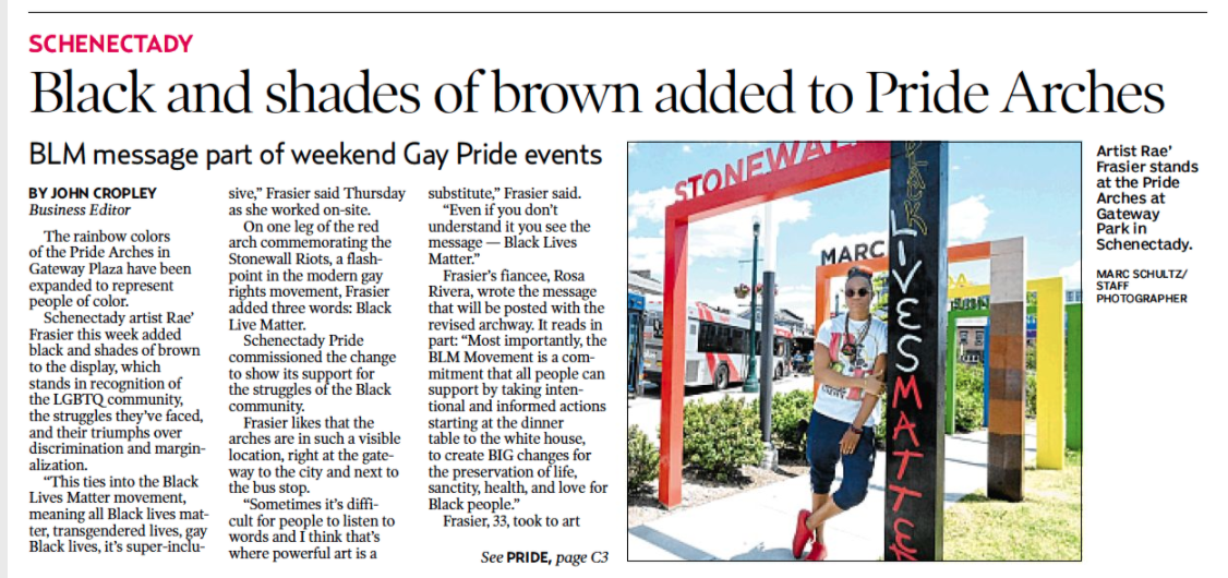
The June 27, 2020 Saturday Gazette article above told us that:
“Schenectady artist Rae’ Frasier this week added black and shades of brown to the display, which stands in recognition of the LGBTQ community, the struggles they’ve faced, and their triumphs over discrimination and marginalization.”
“This ties into the Black Lives Matter movement, meaning all Black lives matter, transgendered lives, gay Black lives, it’s super-inclusive,” Frasier said Thursday as she worked on-site. . . .
“Schenectady Pride commissioned the change to show its support for the struggles of the Black community.”
 Frankly, despite the merits of the cause, my first impression from the photo in the Gazette balked at this “vandalism” to a visually complete piece of public art-sculpture. But, I trotted down to Gateway-Liberty Park to see it for myself. The changes seemed less brash under a gray sky, Nonetheless, I still think a new, separate arch or a separate pedestal of some sort strategically close-by, might have been artistically more appropriate — with something temporary now, in the rush of the BLM wave and the Rainbow Pride Festival.
Judge for yourself with photos taken around 11 AM and 9 PM, June 27, 2020. Click on a square tile for a larger, full image; and see the collage below showing details added later:


. . from July 22, 2020:

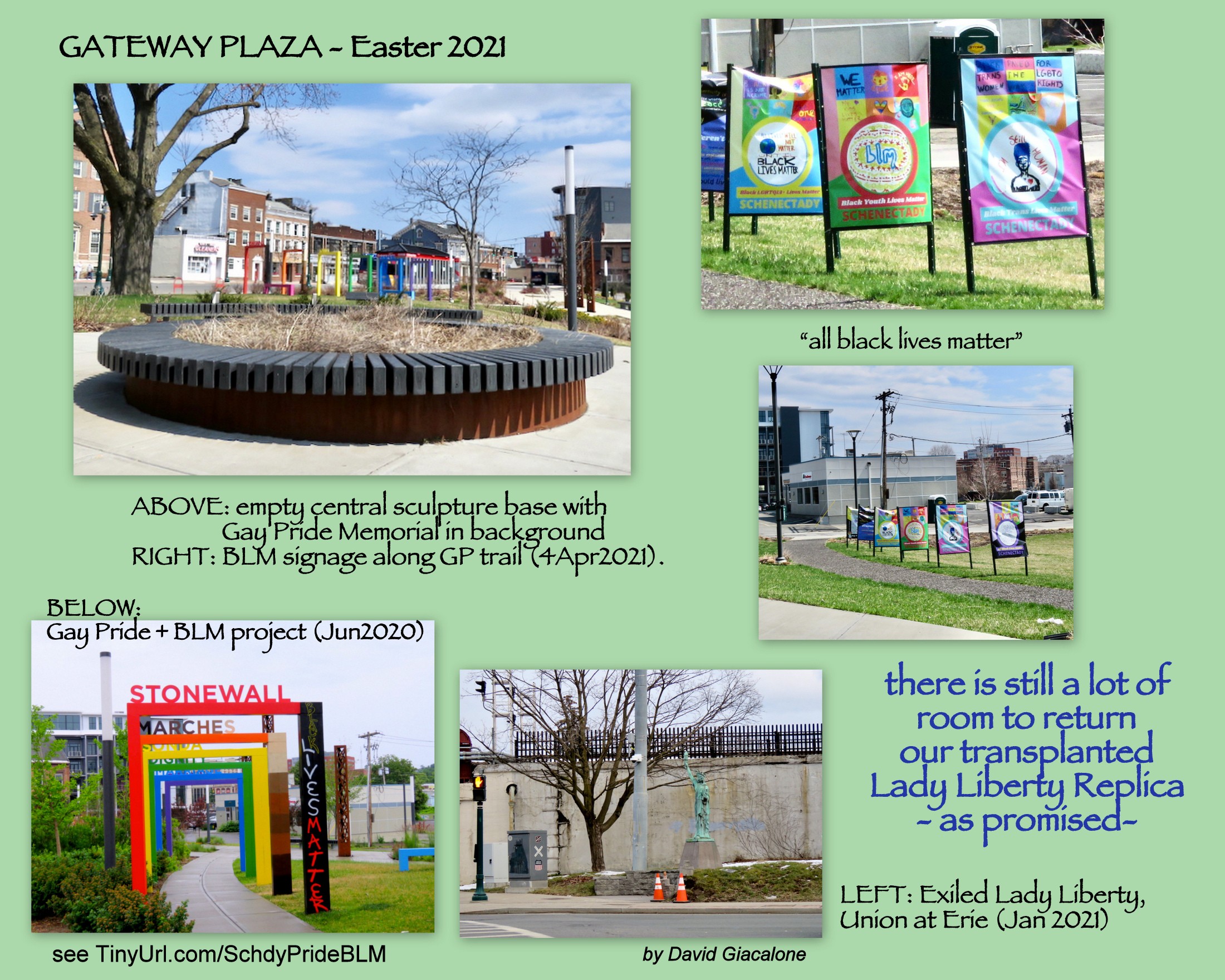
follow-up (April 5, 2021): A visit to Gateway Plaza yesterday, Easter Sunday, found a continued absence of Lady Liberty in the Plaza/Park, especially on the central sculpture base, but additional Black Lives Matter signage along a Plaza Trail.

Feb. 24, 2021 . . 


Recent Comments