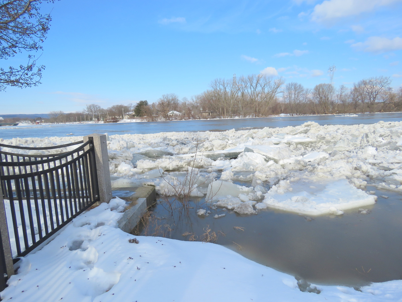
At 10:30 AM on Friday (Jan. 25), the Mohawk River had risen to the top of the Overlook flood gauge at N. Ferry Street, see photo above. The Hydro Chart from the National Weather Service continues to predict the River topping off at Freeman’s Bridge about 218 ft., which is about 222 ft at N. Ferry Overlook. However, there may be an ice jam at Freeman’s Bridge, so it is a good thing to stay alert, if you live in the flood-prone area.
- Evening Update (Jan. 25, 9 PM): According to the Gazette, and the NWS Hydro Chart, the River is no longer rising and is expected to recede overnight. Of course, with ice jamming in spots, some flooding continues to be a threat, even if a small one.
- Share this posting with this short URL: https://tinyurl.com/NotQuiteFlood

looking east in Riverside Park from Governor’s Lane
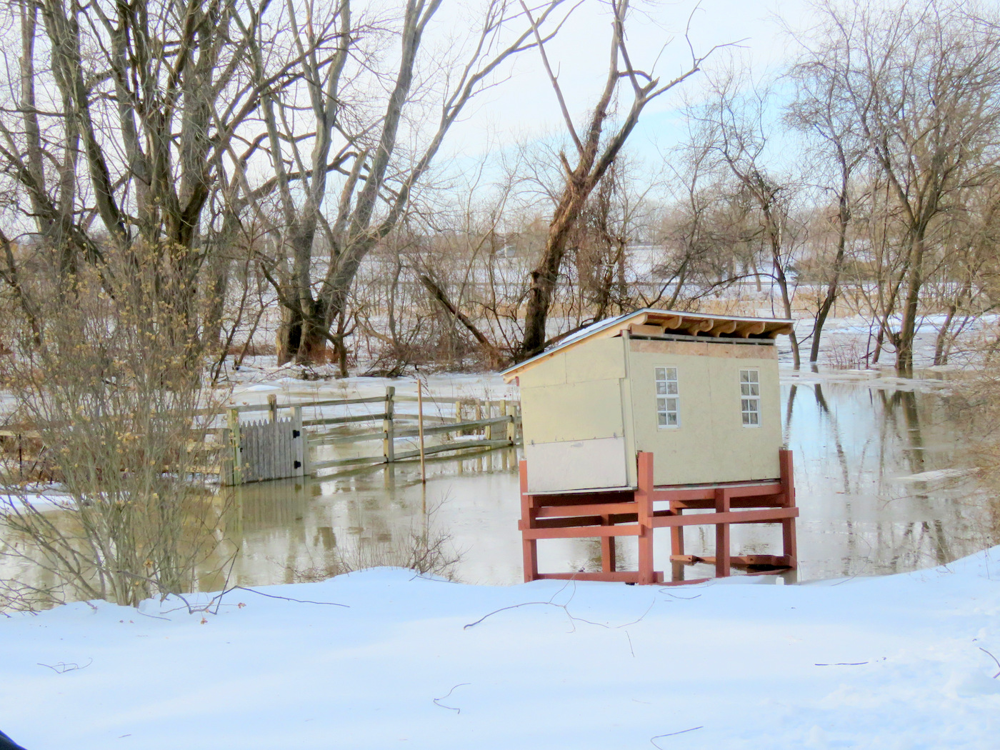
. . Below: yard, 4 Cucumber Alley, along the Binnekill and the Mohawk
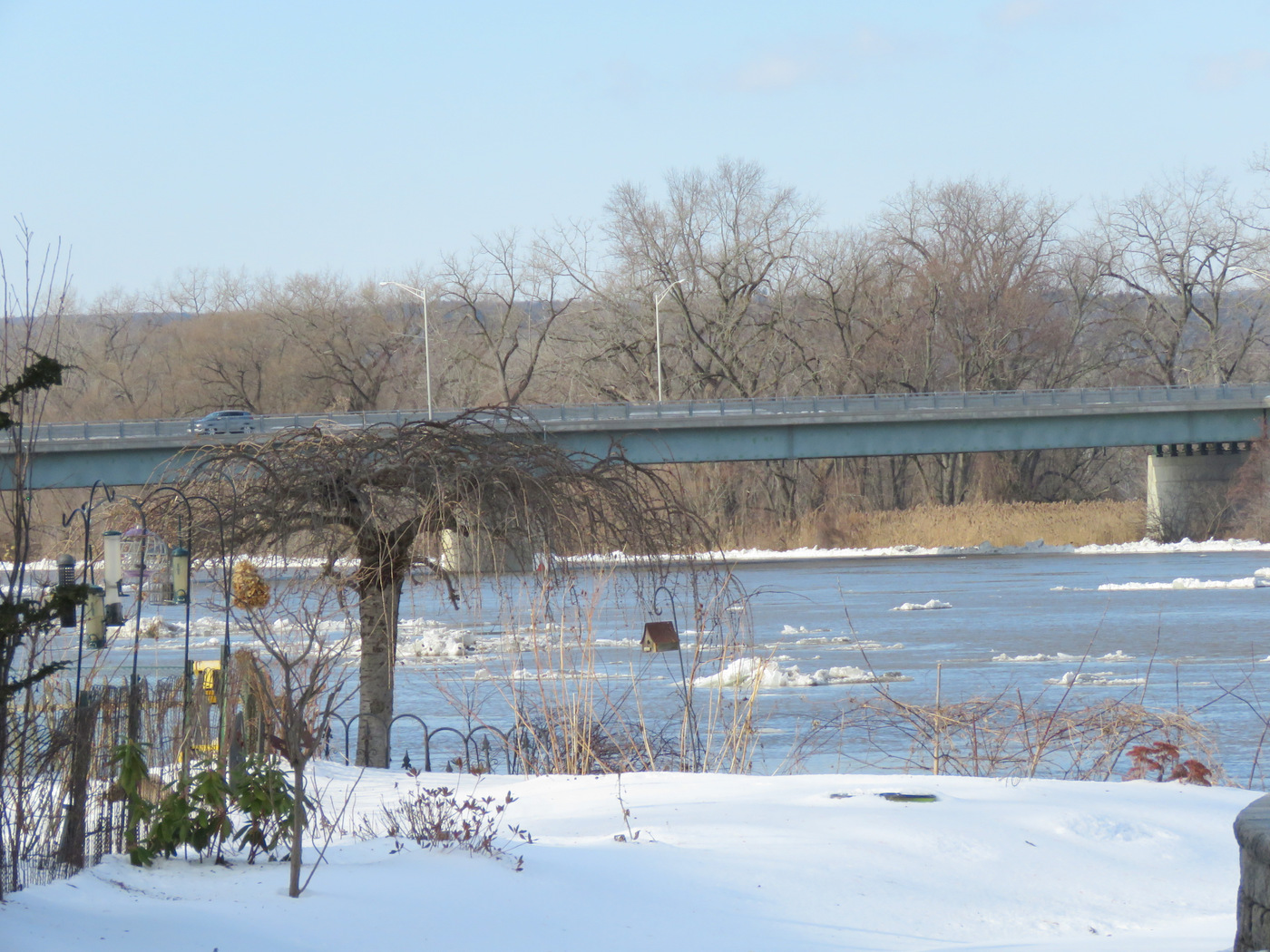
Below you will find an array of views from the river end of Cucumber Alley and at Riverside Park along the Mohawk around 10:30 AM. Friday. Click on a square tile for a full, larger version of an image. Scroll over the image for a caption.


 . . view west from 4 Washington Ave. – with not quite-floating birdhouse
- Click the following link to check out the ebb and flow, freeze and melt of the subsequent “early February warm-up“.
- Compare last year’s flood-watching at this site in February 2018.
 follow-up (Nov. 2, 2019): The Mohawk was again at almost-minor flood stage on Nov. 1, 2019, with waters at the top of the Riverbank along Riverside Park, and in the rear yards of the end of Cucumber Alley. Click on image at the head of this blurb for conditions on November 2nd.

Leave a comment