
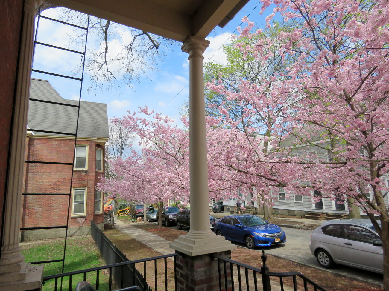
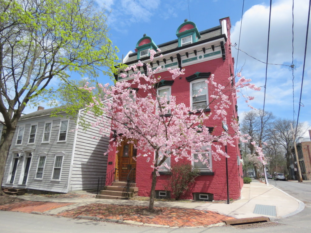
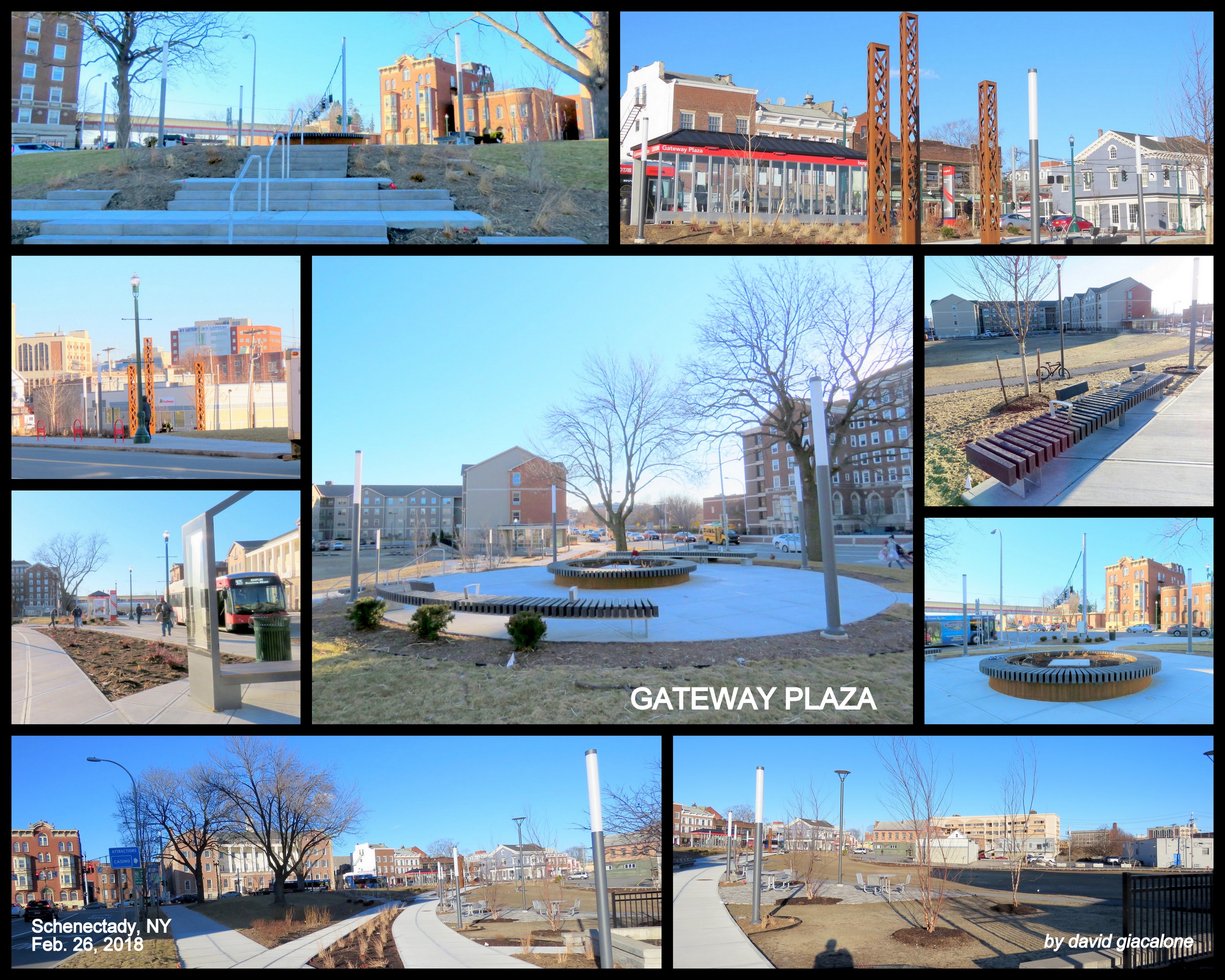
. . click on collage for larger version; photos taken 26Feb2018 . .
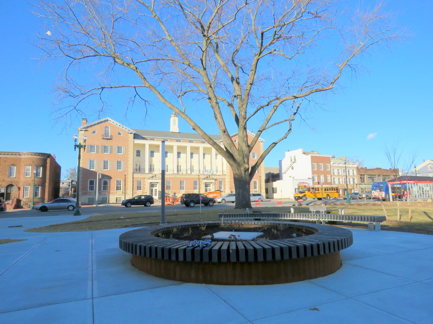
Schenectady’s long-anticipated Gateway Plaza is now open to the public. The project redesigned and expanded Liberty Park into Gateway Plaza. This posting is meant as a visual display of the project, with photos taken on February 26 (under a clear blue sky) and March 3, 2018 (with a gray cloud-cover and a blanket of snow). I did not catch every corner, space, or perspective, but I did see how many ideas we have heard about over the past several years have been implemented.
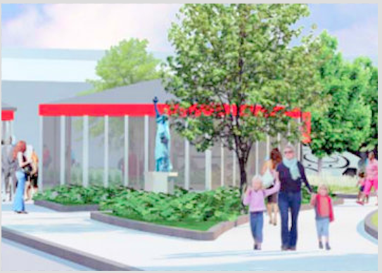
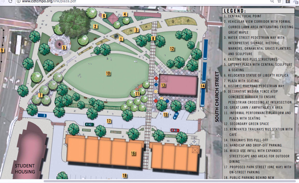
 Editorial follow-up (May 26, 2019): Fifteen months after first asking Mayor McCarthy and City Council why Schenectady’s Lady Liberty Replica statue is not back in Her park, as required in the approved Final Implementation Plan for Gateway Plaza, Lady Liberty is still locked up in a City storage room, and we are told she was damaged in storage. We have been given no description of the damage or estimates for its repair. And, we have been given no promise that She will be returned to Her home from 1950 to 2017. [on right, detail from a Final Plan rendering, showing her return]
. . for background see . . “Lady Liberty is Timeless“ detailing the controversy; & “Wallinger’s excuses for exiling Lady Liberty” debunking each excuse for sending Lady Liberty away.
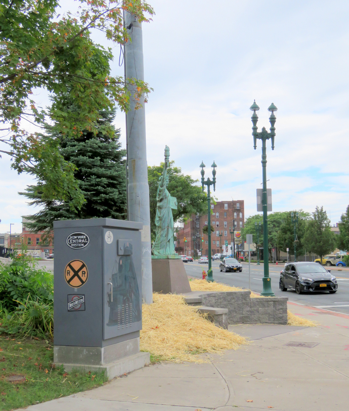
 follow-up: Still no explanation for her exile after 18 months, but Lady Liberty has been given an utterly inappropriate new home at Erie Blvd. and Union Street, at the RR underpass. See “McCarthy disses Lady Liberty (and all of us) again“, Aug. 28, 2019.]
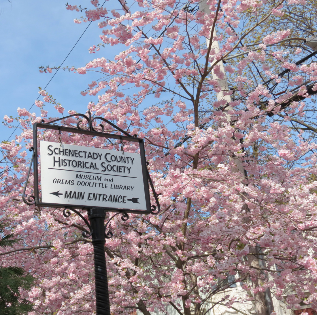
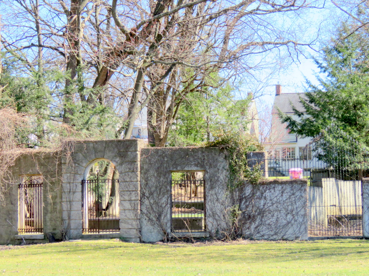
Lady Liberty is not the only part of the adopted Gateway Plaza Implementation Plan ignored in the actual execution of the Plan by Mary Wallinger’s LandArt Studio, the “construction administrator” of the Plan (see “pillar-ied at the Plaza“).

We need specific guidelines enforced as to when major elements of an approved plan may be changed and with what procedures. Public participation and transparency during the formal planning process are meaningless if arbitrary decisions can be made and implemented ignoring an approved plan.
. . Original Posting (March 4, 2018) . .
This is not a design review, and visitors to this website and Plaza users should judge for themselves how well Gateway Plaza has fulfilled the primary concepts behind its plan and their own aesthetic preferences:
 . . as a Gateway Park, the space must cater heavily to both the pedestrian and the vehicular user. Another driving factor is the crucial role the park needs to play in providing connectivity between SCCC, the new student housing, Downtown Schenectady, and the historic Stockade Neighborhood. The new design for the park is therefore organized around two strong cross-axes that share a central focal point and organize the park into a series of rooms and spaces that cater to a diversity of uses.
In addition, the Conclusions portion of the GP Implementation Plan [at 25] states that “The proposed design for Schenectady Gateway Plaza should demonstrate” a long list of characteristics, starting with:
• Function as a Gateway landmark that welcomes visitors to the City
• Utilize contemporary design to reflect Schenectady’s position as an invigorating and sustainable City
• Celebrate Schenectady’s past, present & future
• Be clean and open in appearance to improve visibility and accessibility
 You can learn much more about the project by perusing the Final Report City of Schenectady Gateway Plaza Implementation Plan (November 2012, 119 pp. pdf.) Mary Moore Wallinger, who many of us also know as Chair of the Schenectady Planning Commission, produced the Gateway Plaza Plan while employed by Synthesis Architects, LLP. Her LAndArt Studio has been responsible for design, construction documents and construction administration.
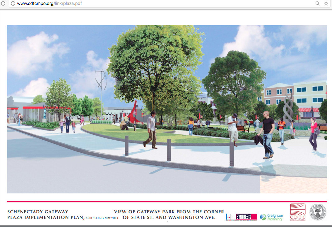
As you can see in the collage at the head of this posting, the drawings from the Plan, and the Slideshow below, features of the park include contemporary sculptures, rain gardens, seating terraces and a Great Lawn. The Central Sculpture has not yet been placed and, naturally, the gardens and various plantings must await Spring.

. . rendering of birdseye view of Gateway Plaza . .
 For a larger version of any image in the Slideshow, pause on the chosen photo, right-click, and choose Open Image in New Tab.
This slideshow requires JavaScript.
. . share this posting with this short URL: https://tinyurl.com/GP1stLook

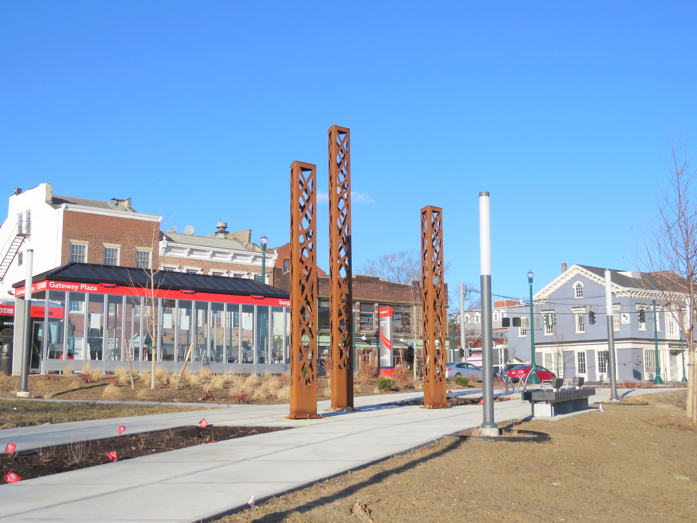
. CDTA bus shelter, sculpture pillars, modern light-poles
 . . view from urban plaza to State Street.

. . above: sketch of Phase 1 & 2, with Legend . .
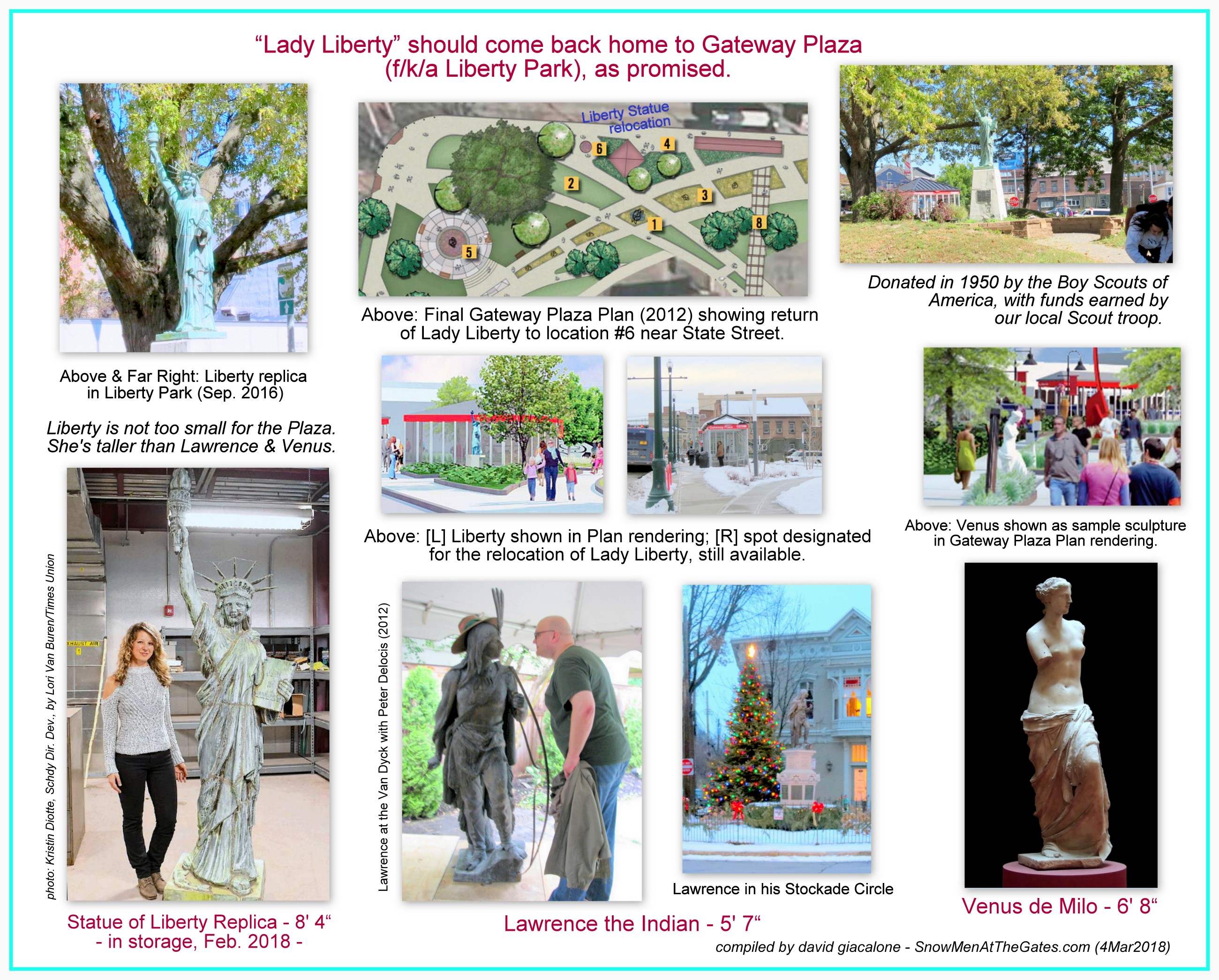
 Editor’s Note: There is one issue I must raise, and will soon say more. It has recently been announced that the replica of the Statue of Liberty erected in Liberty Park in November 1950, donated by a local Boy Scout troop, will not be returned to the new Plaza, but will be getting a new foster home elsewhere in Schenectady. As you can see in the Legend in the above Plan drawing (item #6) and in the detail to the left from a rendering in the Final Plan, the original, announced, natural, and very popular plan was to bring Liberty back to Her Home. We should insist that this piece of the Park’s history, and our history, be given a new place of honor in her Park. Click the following link for an “advocacy collage” arguing that we must Bring Lady Liberty Home, and particularly that (despite current excuses) she is not too small to make an adequate impact at the new Plaza.
 . . click this thumbnail for a reminder of what Lady Liberty looked like in Liberty Park . .
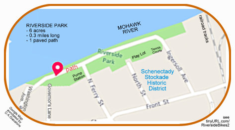
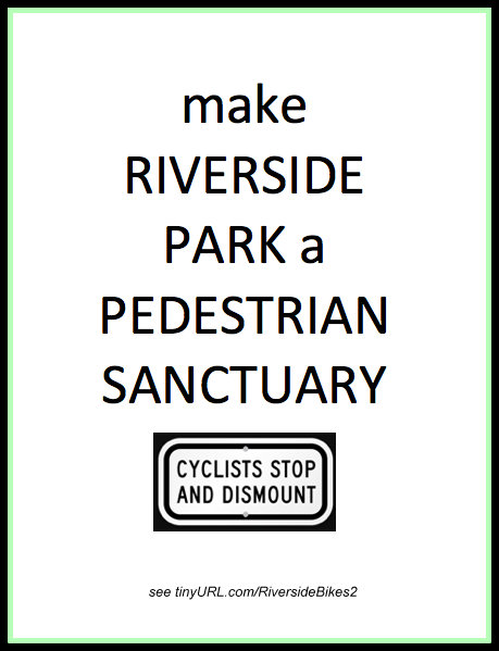
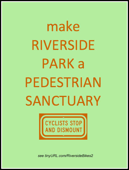
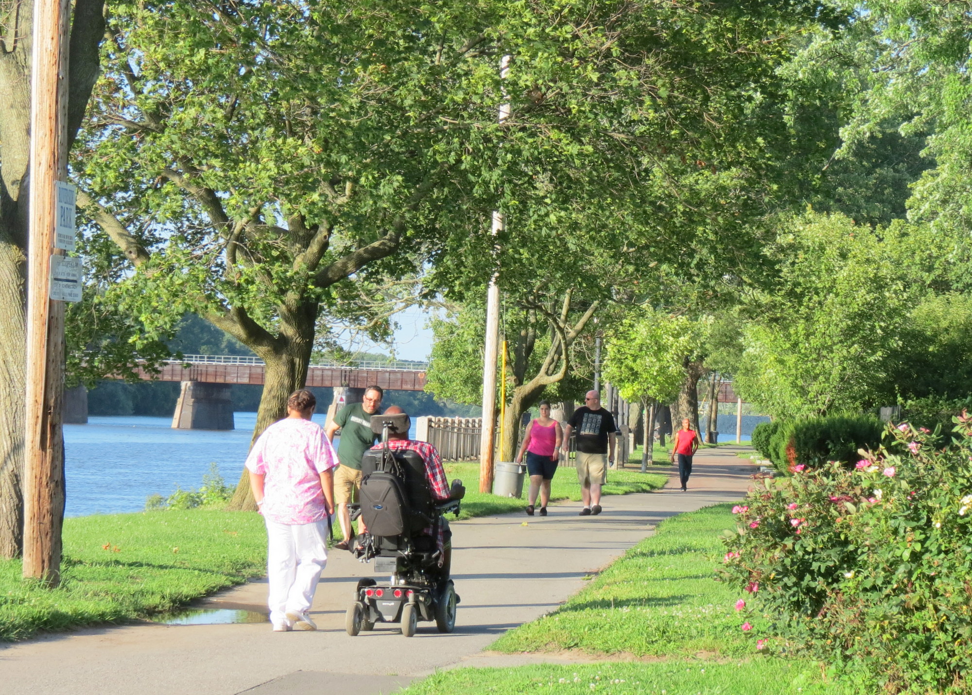 Many thanks to the Schenectady Gazette Opinion Page for publishing the Guest Column “Preserve Riverside Park for pedestrians” (May 4, 2018, at C4, by David Giacalone; click for a 2-page pdf. version).
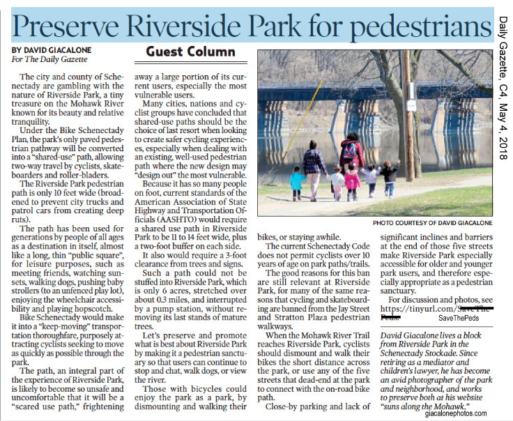


Recent Comments