 . . . 6 AM Saturday: free flowing . . .
– Flood stage (223′) reached 8 PM Friday; down to 219′ by midnight –

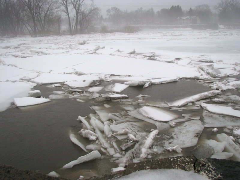
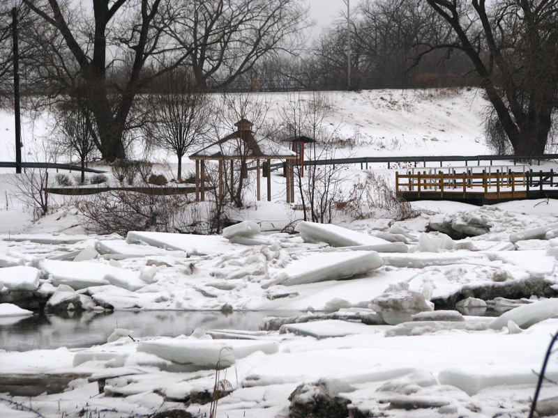
– ice jams and fog at Riverside Park (7 AM Friday March 11) –
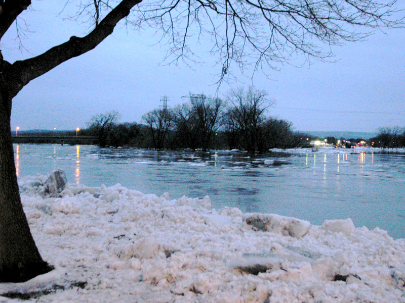
[Friday morning, March 11] It’s not yet the ides of March, but we already need to watch our backs along the Stockade section of the Mohawk, as snow-melt and rain fill the River and its tributaries and bring our annual flood watch. As long as the River lets me get up-close, I plan to monitor the situation throughout the weekend, watching for ice jams and checking the level of the River. The slideshow and gallery below will be updated as I get new photos.
 As always, click on the gallery photos for a larger version and scroll over a picture for its description. Scroll down our homepage for ice jam photo sessions earlier this week, and links to images from this time last year.
. . .
– click on the Gallery photos below for a larger version – 
-

- view north from Washington Ave. abutment – 6 AM Saturday

-

- Isle of the Cayugas – 6 AM Saturday
-

- backyard of 4 Cucumber Alley – 6 AM Saturday

-

- looking west from Esplanade – 6 AM Saturday
-

- looking east from Esplanade – 6 AM Saturday
-

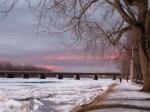
- sun setting behind Isle of the Cayugas – 6 PM Friday

-
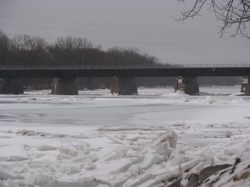
- CSX trestle at sunset – Friday

-
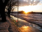
- sunset looking west from Park tot lot – Friday 6 PM

-

- view north from the rear of 16 Washington Ave. – 11Mar11-7AM
-

- Gateway Landing and Binnekill – 7 AM Friday
-
- view east from end of Washington Ave. 7 AM Friday

-

- CSX trestle over the Mohawk – 7 AM Friday
-
- 7 AM Friday at the Riverside Park esplanade

. . .
p.s. Thanks to Fred Heitkamp for reminding us of the NOAA river watch/forecast webpage. Click to see the frequently-updated graph for the Mohawk River at Schenectady. [note: flood level at Riverside Park is 223 feet]
Use this URL for the Weather Service graph: http://tinyurl.com/MohawkSchdy

Thanks for monitoring things David. I always get anxious this time of year due to basement flooding. I wish something could be done about the jams underneath some of the bridges.
By: Jeff on March 11, 2011
at 3:05 pm
You’re welcome, Jeff. I’m puzzled over why the powers that be have not figured out how to smash/dislodge the ice jams that form so predictably at the base of the CSX trestle, causing the Stockade floods.
By: David Giacalone on March 11, 2011
at 3:11 pm
Saw a blurb on an ice jam last night, it seems that it broke rather quickly. Very glad to see that it’s flowing now. Still I’m a little concerned that the level hasn’t dropped much, it’s been around 218.75 feet since around midnight according to the noaa site. 7 hours at the same level without dropping? I wonder if there’s a small jam further downstream that’s preventing it from dropping?
By: Jeff on March 12, 2011
at 8:31 am